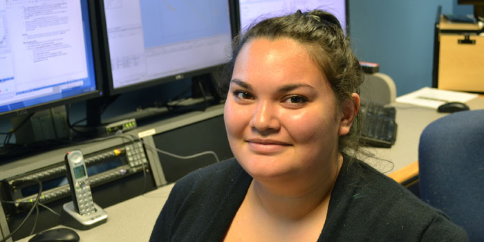
Meet Chloe Baskin
Chloe Baskin is an Explorer-in-Training who analyzed the ocean floor using data collected from NOAA Ship Okeanos Explorer at the Center for Coastal Ocean Mapping Joint Hydrographic Center in the Exploration Command Center at the University of New Hampshire. Read the full text of Caroline’s interview below to learn more about her experience.
About Chloe's Role
Where were you stationed and what were your duties as an Explorer-in-Training?
As an onshore Explorer-in-Training, I collaborated with the crew of the Okeanos Explorer during the seventh and final cruise of the 2016 season. The collaboration focused on learning how to post-process data the vessel was collecting and packaging it in ways that scientists, ocean managers, and the public can use for their own research.
Which school are you attending?
I am currently at the School of Environmental and Biological Sciences at Rutgers University in New Jersey, majoring in Physical Oceanography.
Where was your work experience located? If you were working at sea, what were your impressions of living and working on a ship?
My experience was located at the Center for Coastal Ocean Mapping Joint Hydrographic Center in the Exploration Command Center. It is located on the University of New Hampshire’s campus in Durham, New Hampshire. Although I wasn’t at sea, I did stand eight-hour watches in the lab for every day that the ship was at sea. Otherwise, it was like being at college.
What sparked your initial interest in ocean sciences?
It was a combination of things. For one, my mother is a biological oceanographer, so growing up I knew I wanted to be a scientist, but I was unsure about what science I wanted to study. I went into college thinking I was going to study biochemistry and biological oceanography, but the more I learned about the physics of the ocean, the more I realized I wanted to use physics to study the effects on living organisms. So, I switched my major and now I want to study the biophysical interactions of jellyfish.
What was the most personally rewarding part of your experience?
It was definitely being part of a team that is constantly exploring the ocean and making new discoveries. Also, it is cool knowing the information and knowledge generated from this cruise will be used by scientists all over the world.
What is the most unexpected thing you have learned?
How much plans change in the field. Before the expedition started, we were shown the final project instructions. This included the planned track of the ship. However, during the cruise there were storms right on the ship’s planned track and boundary expansion in the Papahānaumokuākea Marine National Monument that both required new transit paths to be drawn.
Please describe your final project.
During the seventh and final expedition of the Okeanos Explorer’s 2016 season, the ship continued to map the seafloor and specific seamounts around the Pacific Remote Islands Marine National Monument, now known as Pacific Islands Heritage Marine National Monument. The onshore team post-processed the multibeam, sub-bottom, backscatter, and water column data. Individually, we were each assigned a seamount and had to process all of the different kinds of sonar data for our specific seamount; this included integrating previous cruise data. I was assigned the unnamed seamount “S4.” It was a relatively small seamount, roughly 3,000 meters tall.
How do you see this experience fitting in with your future career plans?
The skills I have learned, including the application of specific software to study bathymetry, are useful not just for the deep ocean, but also for inshore and coastal areas as well. I would really love to use these skills to study how the physical areas of the seafloor interact with and affect animals throughout the oceans, but especially in coastal areas. I would like to eventually conduct my own research and while it may not be in the specific field of seafloor mapping, almost all ocean science is interdisciplinary and the skills I have learned here will forever be useful.