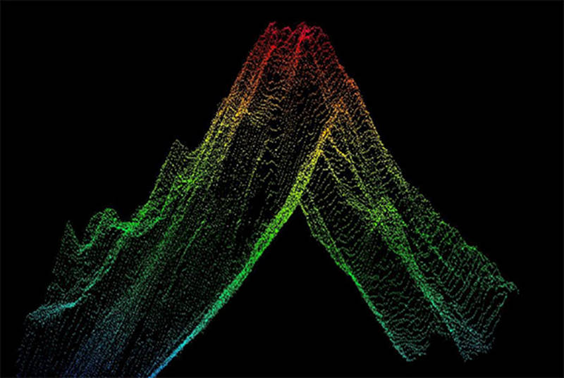
Multibeam sonar creates high resolution images of the seafloor using multiple, simultaneous sonar beams (sound waves) at once in a fan-like pattern. The raw multibeam sonar data that creates point clouds like this one are then used to create two or three-dimensional bathymetric maps.
Raw Multibeam Sonar
Image courtesy of the NOAA Office of Ocean Exploration and Research, Discovering the Deep: Exploring Remote Pacific MPAs. Download image (jpg, 62 KB).

Multibeam sonar creates high resolution images of the seafloor using multiple, simultaneous sonar beams (sound waves) at once in a fan-like pattern. The raw multibeam sonar data that creates point clouds like this one are then used to create two or three-dimensional bathymetric maps.