
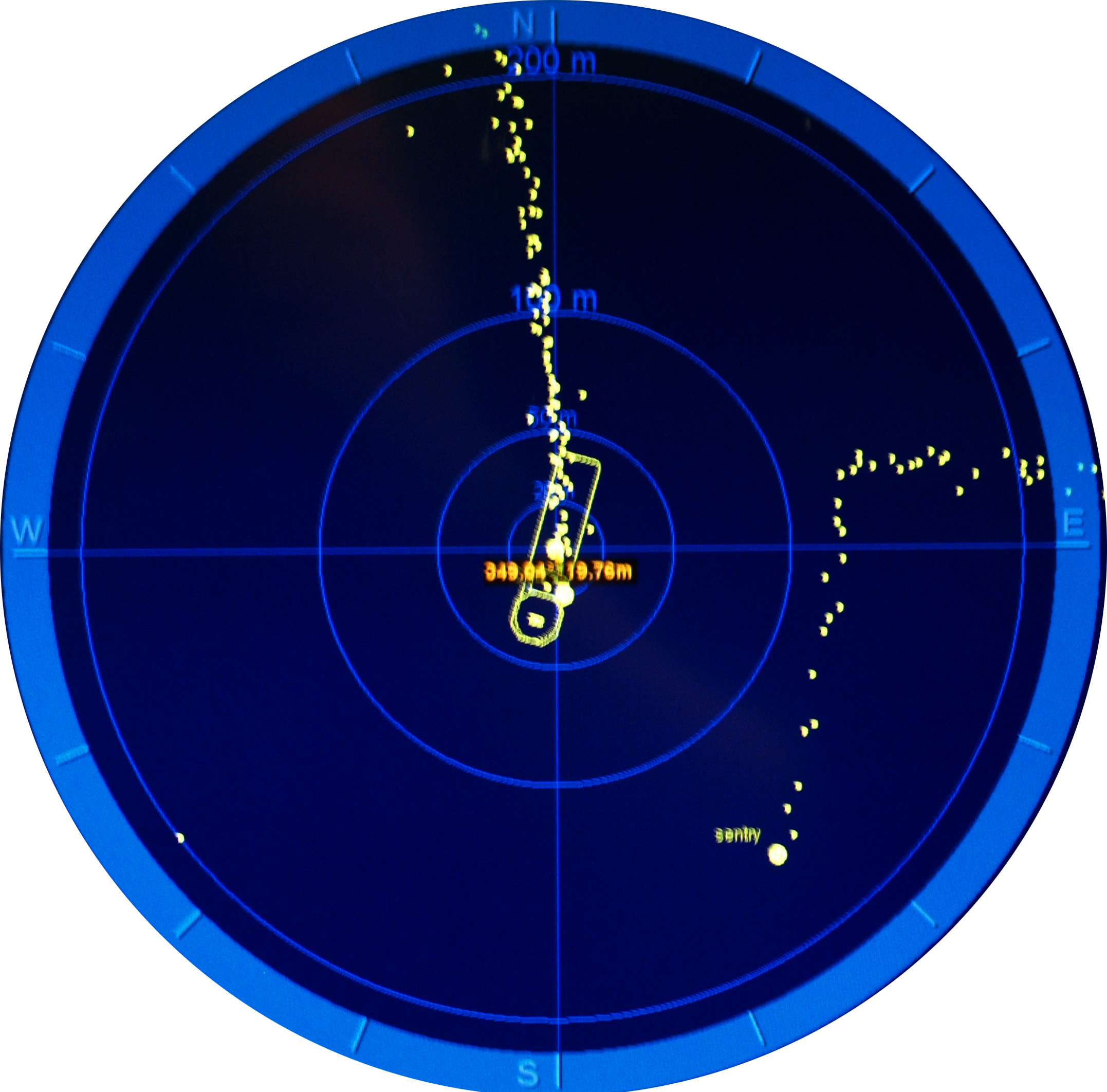
Air traffic control, 3000 meters below sea level. This shows a zoom in of our navigation screens from around midnight last night when Sentry, operating in the top left corner of the middle block of data it collected in the previous image, flew directly beneath the CTD and ship that were heading due south. Since Sentry was on auto-pilot, the way we chose to handle the situation was to hold the ship in a fixed position and make sure we raised the CTD to a safe height while Sentry passed us by (going four times faster than our CTD survey) until we continued on slowly down this section of our program behind it.