By Brian McNamara, Volunteer Archaeologist - Lighthouse Archaeological Maritime Program
August 10, 2014

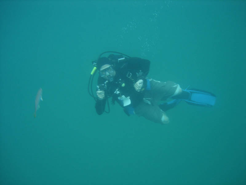
Chuck Meide dives with a small video camera to film the area we recently probed. Image courtesy of Image courtesy of the Search for the Lost French Fleet of 1565 Expedition, NOAA-OER/St. Augustine Lighthouse & Museum. Download larger version (jpg, 48 KB).
As I work on the seafloor, I reflect on the present tranquility of the Canaveral area. It gives no indication of the horrors that the French sailors and soldiers encountered on these beaches. The placid waters and undeveloped coast yield no sign of the death and chaos brought on by the storm that forced Jean Ribault’s ships into this very shore.
Today is our first day of diving. Our mission is to probe beneath the sand at Target 1. This target is made up of several anomalies, and we are looking at two spots in particular, which we will name Drop 1 and Drop 2 (since we will be dropping buoys at each spot).
The first task of the day is to drop these two buoys at the precise locations indicated by our satellite positioning system (GPS). Today we will focus on Drop 1. Once we marked this spot with a buoy, Sam Turner jumped in the water with the handheld magnetometer. While the Roper kept its distance, Sam swam a mini-search pattern around the buoy and then moved the buoy to a spot indicated by the mag as an area of magnetic intensity.

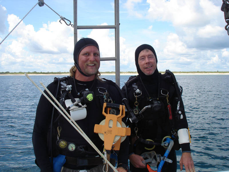
Chuck Meide, left, and Sam Turner, right, prepare to enter the water for the first dive of the project. Image courtesy of Image courtesy of the Search for the Lost French Fleet of 1565 Expedition, NOAA-OER/St. Augustine Lighthouse & Museum. Download larger version (jpg, 216 KB).
The first dive team consists of Chuck and Sam, who conduct circular searches on the seafloor just to confirm that there is no wreckage exposed on the surface of the sand and also to familiarize our team with the environment on the bottom. The water is surprisingly clear, especially by St. Augustine standards, where we are used to dark and murky waters.
After completing the circular searchers, Chuck and Sam deploy the handheld magnetometer underwater. It seems to confirm that we are in the right spot. Now the hydraulic probing can begin.
Every probe we make into the sea bed is an attempt to punch an opening through the barrier of time. It shrouds the past, darkening the events that led to wreckage, desolation, surrender, and ultimately massacre. We are attempting to break through this time barrier and find Ribault’s ships and his men. What stories could they tell us?
Dr. Turner and I dive down the buoy line and lay out a 20-meter measuring tape along a North-South transect, using the anchor as the middle point. This establishes a base line for a systematic probing of the seafloor.
Watch edited video footage from the final dive of the day, where Chuck and Brian photodocument the day’s work of probing on the seafloor.
The hydraulic probe is 10 feet long and is powered by a powerful water pump operating on the surface, secured on Roper’s work deck. This propels a jet of water that allows the probe to sink through sediment like a hot knife through butter. With this tool, we the archaeologists can literally ‘feel’ what lies beneath the sand. Any obstructions such as vessel remains or other artifacts would immediately be known as they halt the probe’s progress. If we get a ‘hard return’ on any probing, the depth of the obstruction is measured by noting the depth of the probe. We can then further excavate that spot to uncover the find. In theory it is a fairly simple process, but nothing at sea is simple.
We struggle to maintain accuracy with our equipment in the dynamic underwater environment. The current pushes the probe over every time we raise it up into the water column, making our progress look like a miniature undersea version of the Marines raising the American flag on Iwo Jima. Stormy weather and a shift in the wind will push Roper in her moorings and the boat drags off site by our air and water lines. The probing kicks silt up and our visibility becomes limited.
Luckily Dr. Turner and I are used to working in poor visibility and choppy conditions off St. Augustine’s historic shores. We methodically work our way down the transect line, probing every half a meter. When this line is completed, we repeat the process on an East-West transect, adding extra lines as needed.
This process is to be repeated for every anomaly, until we can either rule them out or identify them as a shipwreck. Every probe we sink could be the fateful hit, the hard return that signals we have found what we are searching for.

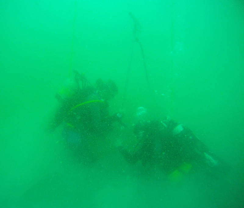
Divers forcing a hydraulic probe into the seafloor. The probe is 10 feet long and is connected by a hose to a water pump on the boat. It jets water out of the end being thrust into the sand. Image courtesy of Image courtesy of the Search for the Lost French Fleet of 1565 Expedition, NOAA-OER/St. Augustine Lighthouse & Museum. Download larger version (jpg, 85 KB).
But, we have no such luck today. None of the probes driven by Sam and me, or any of the ones on the next dive when Chuck joined me, result in a positive strike.
After Chuck and I finish probing, we return to the surface to grab an underwater camera and video camera, and we return to the bottom to get some video footage of the area we have probed.
Once the clouds of silt clear away, the probe holes are clearly visible as dinner plate-sized divots on the bottom.