
By Chuck Meide, Director of the Lighthouse Archaeological Maritime Program - Lighthouse Archaeological Maritime Program
July 16, 2014
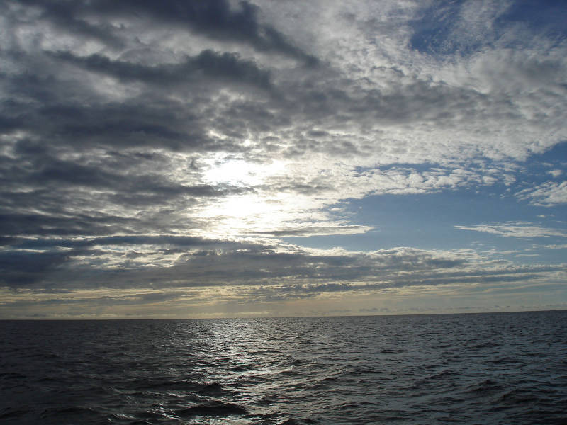
One advantage of working early hours on the boat are the beautiful sunrises that I normally sleep through on shore! Image courtesy of Image courtesy of the Search for the Lost French Fleet of 1565 Expedition, NOAA-OER/St. Augustine Lighthouse & Museum. Download larger version (jpg, 321 KB).
Eager to get out to sea as early as possible, we are awake at an ungodly hour so that we are underway by 4:10 am. Going through Ponce Inlet in the dark causes a bit of anxiety, since we are not very experienced in these waters, though we have gotten thorough details from captains who are familiar with the inlet. All hands are on deck for the transit through the inlet, but we safely emerge into the Atlantic and enjoy a glorious sunset while underway for the survey area.
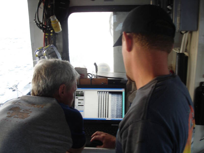
Sam Turner (left) and Brendan Burke (right) inspect the subbottom profiler display at the start of the day, to confirm that the device is working properly. Image courtesy of Image courtesy of the Search for the Lost French Fleet of 1565 Expedition, NOAA-OER/St. Augustine Lighthouse & Museum. Download larger version (jpg, 177 KB).
By 7:00 am we have arrived at the survey area and are preparing to deploy our equipment. First we deploy the subbottom profiler, which works well as expected from its stern bracket. As we test the device we discover and unexpected issue: Roper’s autohelm causes some kind of interference with the subbottom signal whenever it corrects the boat’s heading. This creates a vertical bar on the screen. Once we identify the problem we decide to forgo the autohelm and steer manually.
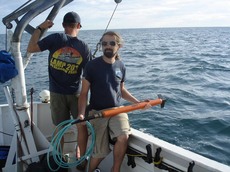
Brian McNamara, LAMP volunteer archaeologist and Flinders University graduate student, standing by with the magnetometer “fish,” waiting to launch it into the sea. The mag head or fish is towed by a length of cable some distance behind the boat. If it is too close to our boat, the steel of the hull or electrical noise from the boat engine could interfere with its magnetic readings. Image courtesy of Image courtesy of the Search for the Lost French Fleet of 1565 Expedition, NOAA-OER/St. Augustine Lighthouse & Museum. Download larger version (jpg, 417 KB).
Shortly after 8:00 am we are ready to deploy the magnetometer, or “mag” for short. This is the device that can detect the presence of iron which might indicate a historic shipwreck. Any sensor that is towed from the boat, whether it is the magnetometer or sidescan sonar, is called the towfish or simply the “fish.”
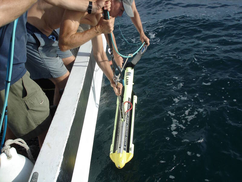
The sidescan sonar is the next device to enter the water. The magnetometer, already launched, is attached by its cable to the sidescan, so the sidescan has to be deployed immediately after the mag enters the water. Image courtesy of Image courtesy of the Search for the Lost French Fleet of 1565 Expedition, NOAA-OER/St. Augustine Lighthouse & Museum. Download larger version (jpg, 357 KB).
The magnetometer takes regular readings every second to measure the Earth’s magnetic field. Normally any given locale will produce stable, steady readings, unless there is a large concentration of ferrous material (iron or steel) present, such as at a shipwreck site. A shipwreck like one of Ribault’s vessels, which might be loaded with iron cannon and other equipment, will create a significant warp or anomaly in the ambient magnetic field, which is quantified and recorded by the magnetometer.
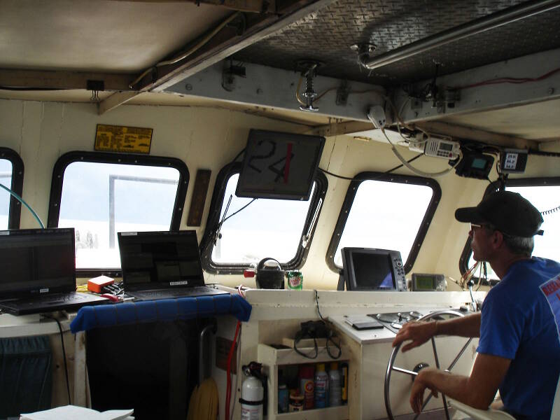
Inside the cabin of the Roper, Sam Turner mans the helm surrounded by computer displays. The two laptops on the left are the displays for the magnetometer and sidescan sonar respectively, while the monitor above Sam’s head shows the real-time position of the boat superimposed over the planned survey lane. During survey, it is critical to steer the boat as truly as possible on the planned trackline, which can be a difficult task. Image courtesy of Image courtesy of the Search for the Lost French Fleet of 1565 Expedition, NOAA-OER/St. Augustine Lighthouse & Museum. Download larger version (jpg, 266 KB).
The next instrument to hit the water is the sidescan sonar fish, which generates imagery of the seafloor. The sidescan fish looks like a large yellow torpedo, and with its significantly greater size and stainless steel construction is much heavier than the mag. We attach the mag cable to the sidescan fish attachment point, so that the larger and heavier sidescan towfish actually helps keep the lightweight mag deeper in the water column. This is important since the magnetometer needs to be positioned within 20 feet of the seafloor in order to get optimal readings.
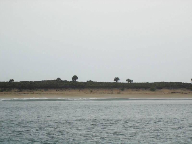
The beach at Canaveral National Seashore as seen from the boat, when running inshore lanes. This is about as close to the beach as we can safely reach using Roper, which drafts between 4 and 5 feet of water. Image courtesy of Image courtesy of the Search for the Lost French Fleet of 1565 Expedition, NOAA-OER/St. Augustine Lighthouse & Museum. Download larger version (jpg, 209 KB).
In the boat cabin, the remote sensing devices being towed are connected to computers which display and record the ongoing results. The differential GPS, which uses satellites to provide highly accurate positional data, is also feeding into these computers. This allows us to coordinate the exact position of each towfish with the data it is recording. The GPS is also used by the boat captain to navigate the vessel during survey. It is important that the boat is steered as accurately as possible on the pre-determined tracklines or survey lanes, in order to adequately cover the survey area.
While we still have a few kinks to work out, which is typical on the first day of a survey, by 9:30 am we are collecting data with all of our geophysical devices. Once started, we don’t want to stop until we have to, so we switch out boat drivers after each five-mile long survey lane.
At our ideal survey speed of four knots, it takes about an hour and a half to finish a single lane. We have 38 pre-numbered survey lanes, spaced 20 meters apart, to cover the half-mile wide survey area. Lane 1 is the outermost lane, and the lane numbers increase towards the beach. We know that we will not be able to get our vessel all the way in to the final lane numbers, which are situated in water too shallow to access by boat, but we hope to be able to survey as close to possible to the beach and surf zone.
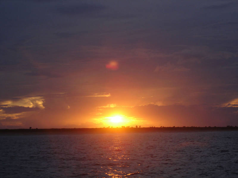
Watching the sun set after a long, successful day of collecting data. Image courtesy of Image courtesy of the Search for the Lost French Fleet of 1565 Expedition, NOAA-OER/St. Augustine Lighthouse & Museum. Download larger version (jpg, 158 KB).
After two frustrating days without collecting any data, everything is finally going our way. There are no afternoon thunderstorms today, a rarity for Florida’s east coast. We successfully survey from 9:30 am to almost 10:00 pm, over 12 hours of driving lanes back and forth. This goes quite a bit towards making up for our lost time due to weather and engine issues.
We have completed eight lanes today, including several inshore lanes which we tackled at high tide, so as to get in as close to the beach as possible. What’s more is that the seas are calm at the day’s end and the forecast looks good, so we can safely spend the night anchored on site. That means that we will get an even earlier start tomorrow.
If the weather holds for the rest of the survey and we can keep up or improve this pace, then we should have a good shot at completing our planned survey area in the seven days scheduled.