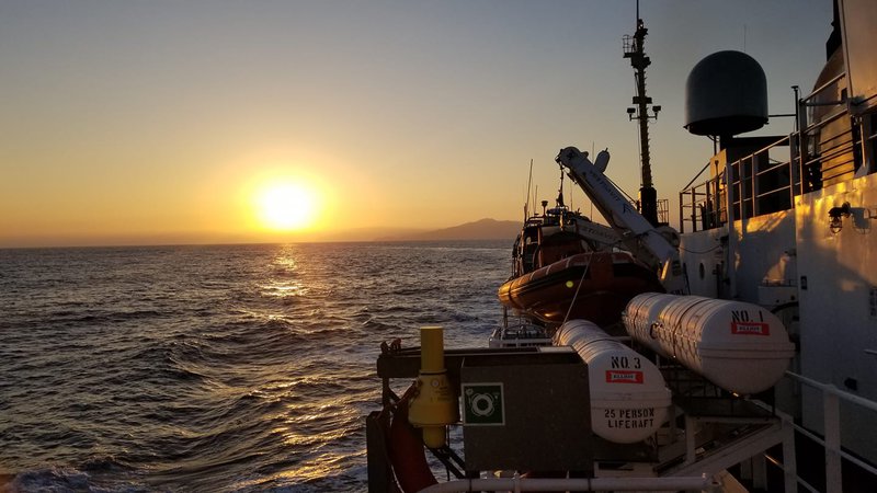
The Southern California Seafloor Mapping Initiative (SCSMI) - a regional effort to collect high-resolution mapping data applicable to numerous federal and state agencies – laid the foundation for EXPRESS. Multiple vessels will contribute to the emerging campaign.
 SCS Mapping Initiative
Image courtesy of CDR Ben Evans, NOAA. Download larger version (jpg, 1.5 MB).

The Southern California Seafloor Mapping Initiative (SCSMI) - a regional effort to collect high-resolution mapping data applicable to numerous federal and state agencies – laid the foundation for EXPRESS. Multiple vessels will contribute to the emerging campaign.

Learn more