A still photo taken during a quantitative survey transect off southern Oregon, at 650 meters depth. The red laser dots are 10 cm apart and are located near the middle of the lower part of the screen. Corals and a thornyhead on mud/cobble habitat will be recorded from the video during this part of the transect, as the ROV Yogi transits forward at a consistent speed, height off the seafloor, and direction.
Sponge Bycatch
Image courtesy of NOAA, USGS; taken from the GFOE ROV Yogi. Download larger version (jpg, 3.9 MB).

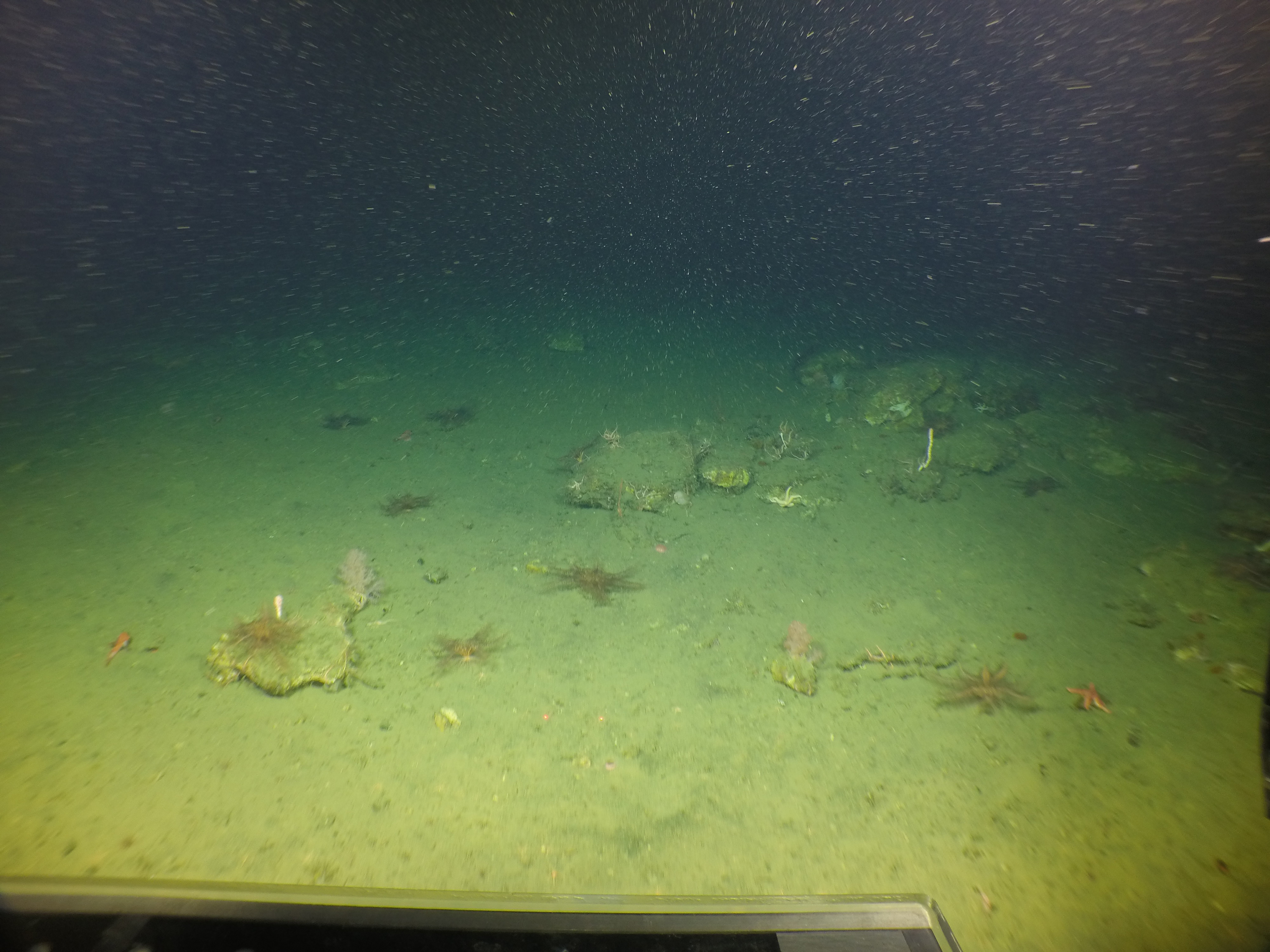
A still photo taken during a quantitative survey transect off southern Oregon, at 650 meters (2,132 feet) depth. The red laser dots are 10 centimeters (~4 inches) apart and are located near the middle of the lower part of the screen. Corals and a thornyhead on mud/cobble habitat will be recorded from the video during this part of the transect, as ROV Yogi transits forward at a consistent speed, height off the seafloor, and direction.

Learn more