

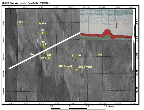
Side scan sonar image of the Eau Gallie region of Oculina Bank from a 1995 survey showing general bottom features of the area. Scientists study these images to determine where to conduct fathometer transects (inset) which then suggest where to deploy an ROV or manned submersible. Image courtesy of Islands in the Stream 2001, NOAA/OER.