by Meme Lobecker and Adam Skarke, Expedition Coordinators, NOAA Office of Ocean Exploration and Research

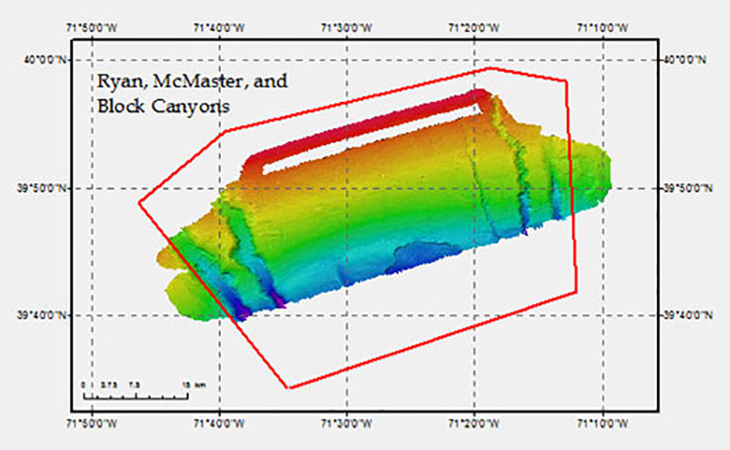
Approximately 900 square kilometers of seafloor were mapped during focused survey operations at Block, Ryan, and McMaster Canyons as part of this expedition. Image courtesy of the NOAA Office of Ocean Exploration and Research. Download image (jpg, 73 KB).
"EX1201" was the first expedition of the 2012 field season for NOAA Ship Okeanos Explorer. The primary objective of this shakedown cruise was to operationally test the vessel, its systems, and all mission equipment. A secondary objective of the expedition was to use the ship’s technologically advanced multibeam sonar to map three Northeast and Mid-Atlantic canyon areas in support of the benthic habitat identification and management efforts of NOAA's Northeast Fisheries Science Center (NEFSC).
After departing its homeport of Davisville, Rhode Island, on February 14, Okeanos Explorer proceeded offshore to Veatch Canyon where a sonar patch test was conducted to ensure the proper calibration of the vessel’s multibeam echosounder. As part of successful patch test operations, approximately 280 square kilometers of Veatch Canyon were bathymetrically mapped, including the majority of the first priority area identified by NEFSC.

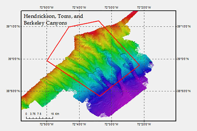
Focused mapping operations at Hendrickson, Toms, and Berkeley Canyons covered approximately 1,400 square kilometers of seafloor. Image courtesy of the NOAA Office of Ocean Exploration and Research. Download image (jpg, 83 KB).
Later in the cruise, focused survey operations conducted at Block, Ryan, and McMaster Canyons mapped approximately 900 square kilometers of seafloor, including 65 percent of the second NEFSC priority area.
Finally, focused mapping operations at Hendrickson, Toms, and Berkeley Canyons covered approximately 1400 square kilometers of seafloor, including 85 percent of the third NEFSC priority area.
While transiting along the continental shelf break between focused mapping areas, multibeam, single beam, and sub-bottom sonar data was collected, adding to the seafloor mapping coverage established on Okeanos Explorer cruise EX1106.
In addition to successful shakedown testing and mapping operations, EX1201 also yielded a number of positive educational outcomes. During the cruise, two graduate interns were trained in seafloor mapping operations as part of the Okeanos Explorer internship program. Additionally, approximately 50 high school students, educators, and local media toured the vessel and learned about its mission at the conclusion of the expedition, in Charleston, South Carolina.