By Jeremy Potter, Expedtion Manager NOAA Office of Ocean Exploration and Research
Where is the ship going to be in 2011? If you had asked anyone in the office that question last year, the immediate response would have likely been 'Indonesia'. We were all ready and excited to go back and work in tandem with our Indonesian partners on round two of the INDEX expeditions. Unfortunately, our nation's tough budget times made that impossible.
After receiving the final no-go decision on Indonesia in March, the Okeanos Explorer (EX) Program immediately focused on developing a brand new plan for the summer field season.
Gone were plans to explore the Coral Triangle, Northwestern Hawaiian Islands, and Marianas National Marine Monument. With the need to arrive at the ship's homeport this fall, we instead considered high priority areas for exploration along the transit route from the West Coast, through the Panama Canal, and up the East Coast to Rhode Island.

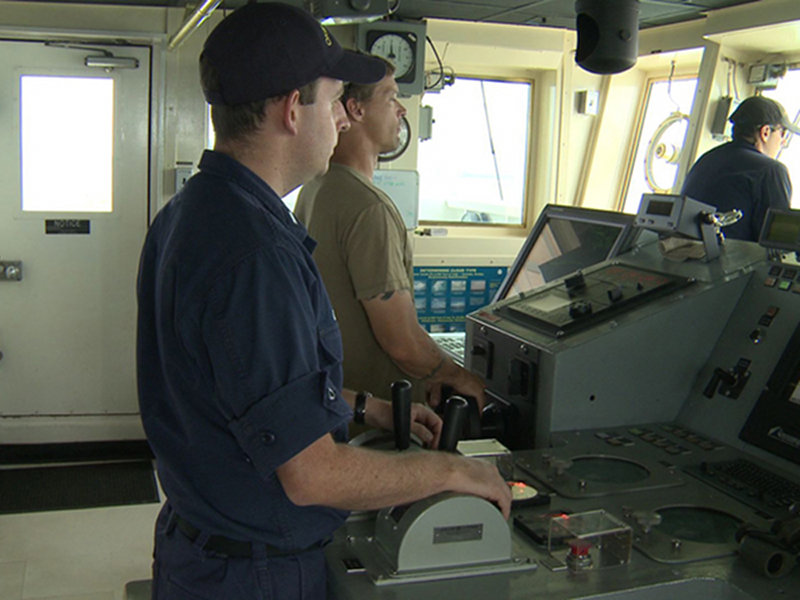
Matt O’Leary, Jerrod Hozendorf, and Brian Kennedy on the bridge of the NOAA Ship Okeanos Explorer. Image courtesy of NOAA Office of Ocean Exploration and Research. Download larger version (jpg, 1.1 MB).
The decision to explore deep-water areas in the vicinity of the Galápagos Islands was easy. The hard part was actually making it all happen in less than three months. There were big questions to answer on very short notice:

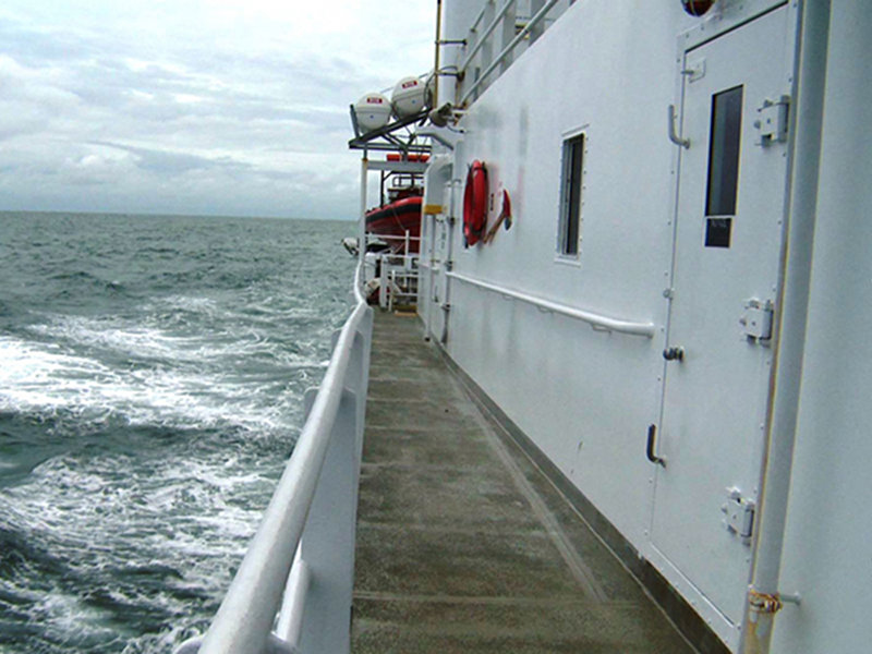
Exterior shot of the NOAA Ship Okeanos Explorer while in transit. Image courtesy of NOAA Office of Ocean Exploration and Research. Download larger version (jpg, 1.1 MB).

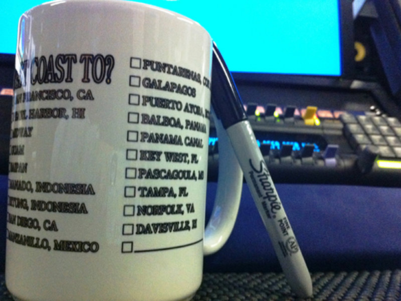
This mug from the Ship Store perhaps best describes the many unknowns just a few months ago. It includes a list of the 19 ports the ship considered using at some point this year. Image courtesy of NOAA Office of Ocean Exploration and Research. Download larger version (jpg, 1.7 MB).
Perhaps it was the dedicated effort of a whole lot of people. Maybe it was luck. Most likely it was good bit of both. Anyway you look at it, we feel fortunate to be here and have the opportunity to share the adventure and excitement with you.