A key purpose of NOAA’s Office of Ocean Exploration and Research is to investigate the more than 95 percent of Earth’s underwater world that, until now, has remained virtually unknown and unseen. Such exploration may reveal clues to the origins of life on Earth, cures for human diseases, answers on how to achieve sustainable use of resources, links to our maritime history, and information to protect endangered species.
Many thousands of seamounts dot the ocean floor, but only a handful have been explored in any way. These mysterious peaks stand as both a challenge and an opportunity to scientists. The patterns and placement of seamounts help illuminate the geologic forces at work beneath the sea. The New England Seamounts are “islands” of hard rock substrate on an otherwise sediment-covered abyssal plain and are exposed to upwelling as ocean currents move over and around them. Their diverse and abundant animal communities offer insights into evolution and adaption, and seamounts are home to an abundance of diverse deep-sea corals.
On this expedition, the NOAA Ship Okeanos Explorer will conduct seafloor and water column mapping operations in the Western North Atlantic Ocean over a portion of the New England Seamount Chain. This group of seamounts is a chain of extinct submarine volcanoes that extend from east to west across the Western North Atlantic Ocean. The chain was created by the movement of crustal plates across a relatively stationary “hot spot” plume of magma, deep in the Earth’s mantle. The youngest and easternmost seamount (Great Meteor) formed approximately 80 million years ago and the oldest and westernmost seamount (Bear) formed approximately 100 million years ago.
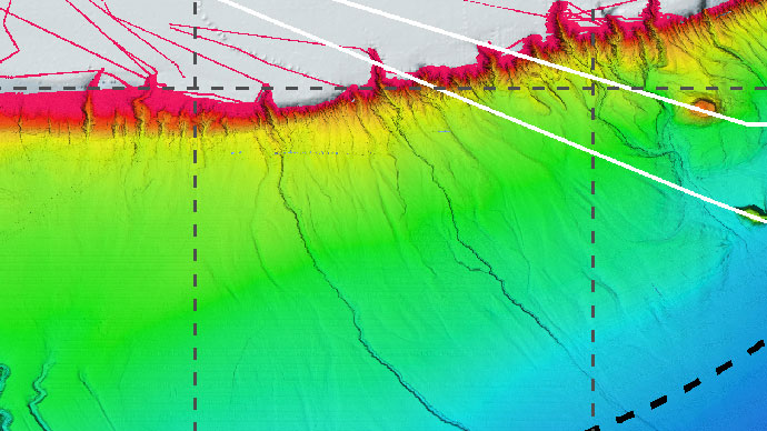
The Okeanos Explorer will collect seafloor bathymetry and water column data over Asterias, Atlantis II, Balanus, Bear, Buell, Gosnold, Kelvin, Kiwi, Mytilus, Physalia, Panulirus, Picket, Retriever and Sheldrake Seamounts. This data will be used as part of the U.S. Extended Continental Shelf (ECS) Project. The mission of the ECS Project is to establish the full extent of the U.S. continental shelf.
The main technology that will be used for this exploration is multibeam sonar. Sonar systems are used to determine water depth, as well as to locate and identify underwater objects. In use, an acoustic signal or pulse of sound is transmitted into the water by a sort of underwater speaker known as a transducer. The transducer may be mounted on the hull of a ship, or may be towed in a container called a towfish. If the seafloor or other object is in the path of the sound pulse, the sound bounces off the object and returns an “echo” to the sonar transducer.
The system measures the strength of the signal and the time elapsed between the emission of the sound pulse and the reception of the echo. This information is used to calculate the distance of the object, and an experienced operator can use the strength of the echo to make inferences about some of the object’s characteristics. Hard objects, for example, produce stronger echoes than softer objects. This is a general description of “active sonar”. “Passive sonar” systems do not transmit sound pulses. Instead, they “listen” to sounds emitted from marine animals, ships, and other sources.
The capabilities of the Okeanos Explorer are cutting-edge and help to increase the scope and efficiency of ocean exploration. The data collected by the Okeanos Explorer during this exploration will improve our understanding of the unique geology and biology of the New England Seamount Chain as well as contribute to national continental shelf mapping priorities.