Image courtesy of ESRI, GEBCO, NOAA Okeanos Explorer Program, the U.S. Continental Shelf Project, and National Geographic.Download larger version (jpg, 3.6 MB).
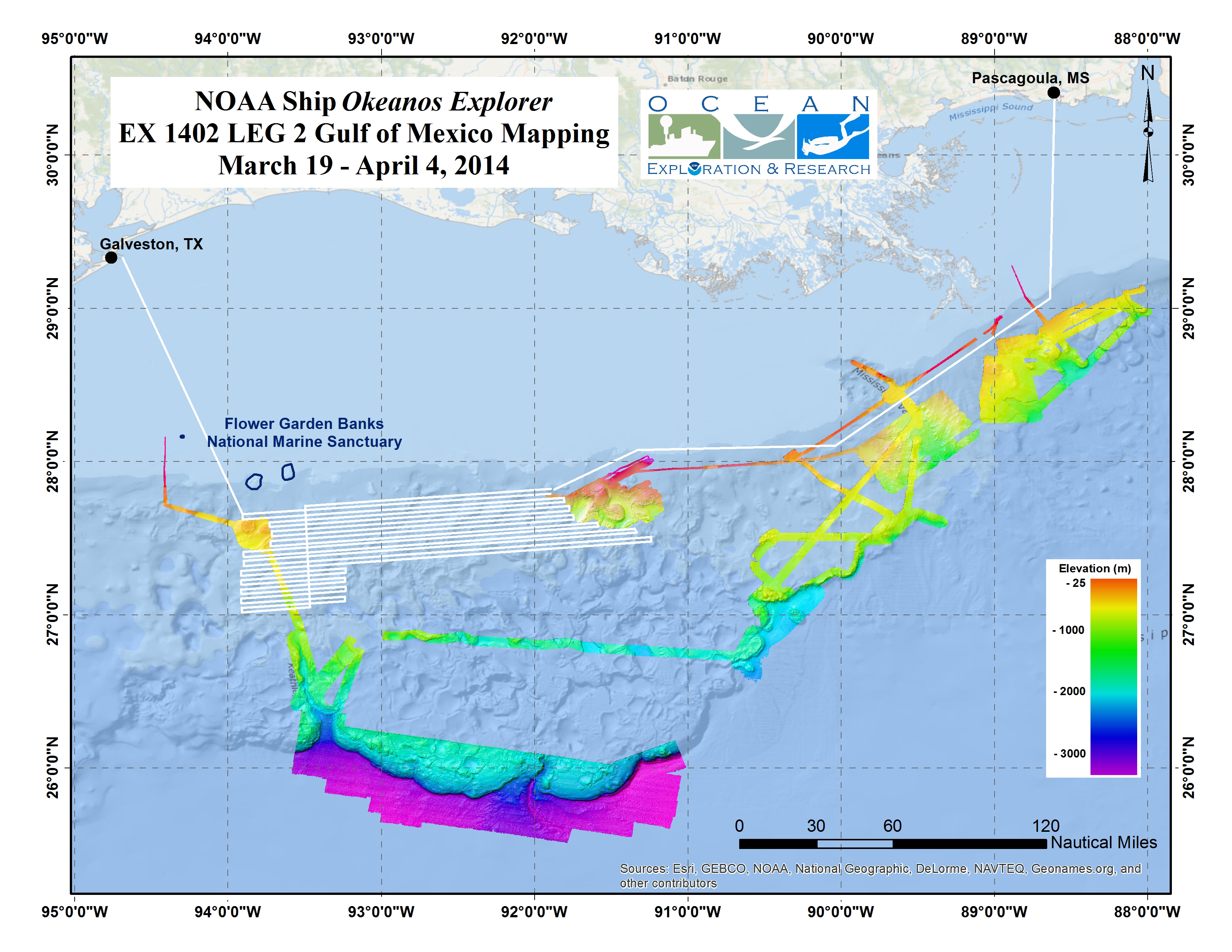
Map showing area where the Okeanos will conduct mapping operations during the Gulf of Mexico Leg 2 Expedition.
