Image courtesy of the NOAA Office of Ocean Exploration and Research, Exploring Atlantic Canyons and Seamounts 2014.Download larger version (jpg, 8.6 MB).
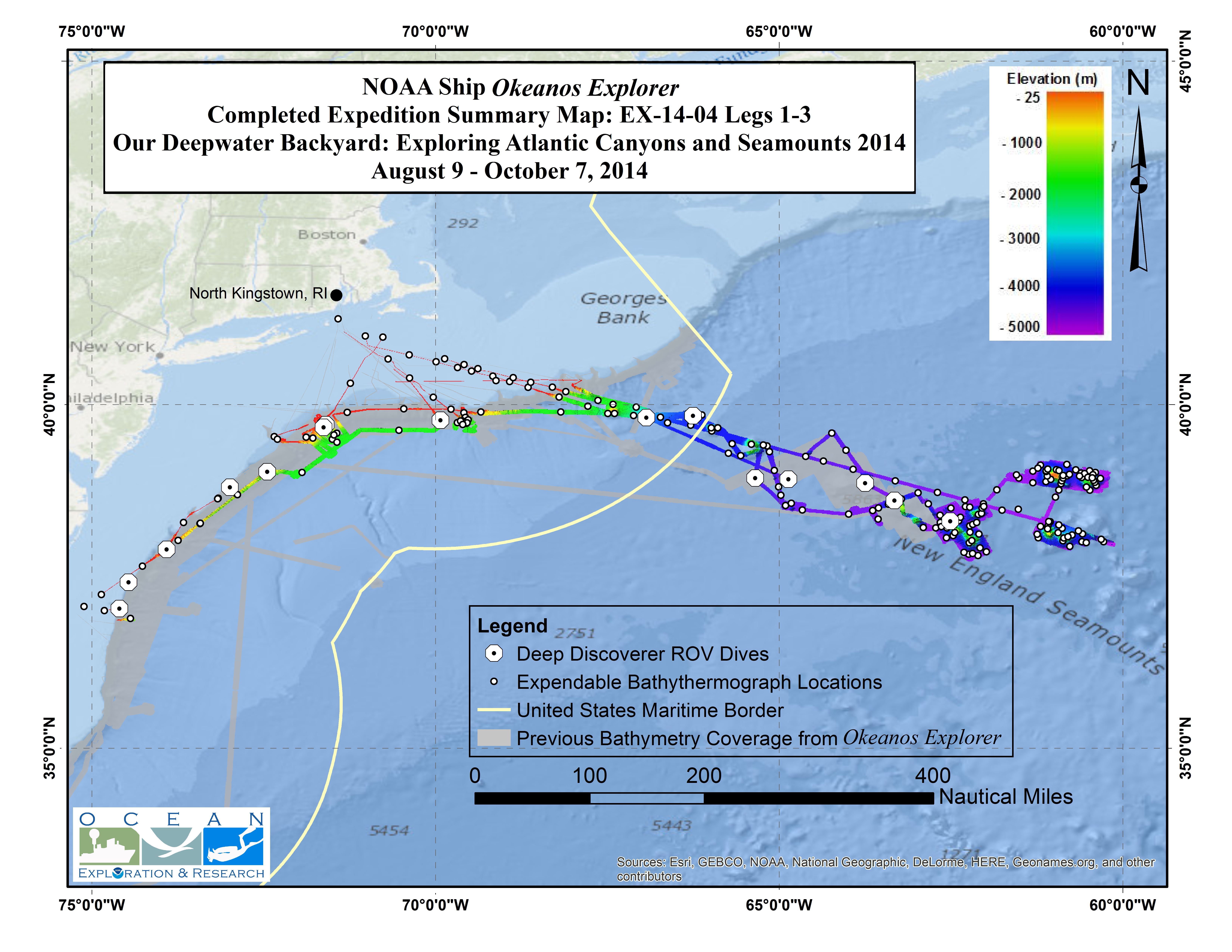
Summary map showing the approximate locations of ROV dives and collected seafloor bathymetry data.
