The Okeanos Explorer has spent the last five days transiting and mapping our way to Kwajalein Atoll in the Marshall Islands. While the transit days have given the engineers time to do some maintenance on the remotely operated vehicles (ROVs) and get ahead on their cruise wrap-up items, it puts a much heavier load on the mapping team. They normally only have to cover mapping operations 12-13 hours a day, but while we are transiting, they are now working 24 hours a day. To help fill the extra hours, several additional people, such as the expedition coordinator and a couple of the ROV pilots, got pulled into the operations. The extra efforts put towards mapping were well worth it. During our transit, we crossed over the Mid Pacific Seamounts, which have virtually no multibeam coverage, so we collected some of the first high-resolution data in this area. This data will hopefully be used to spark future research trips to this unexplored area.
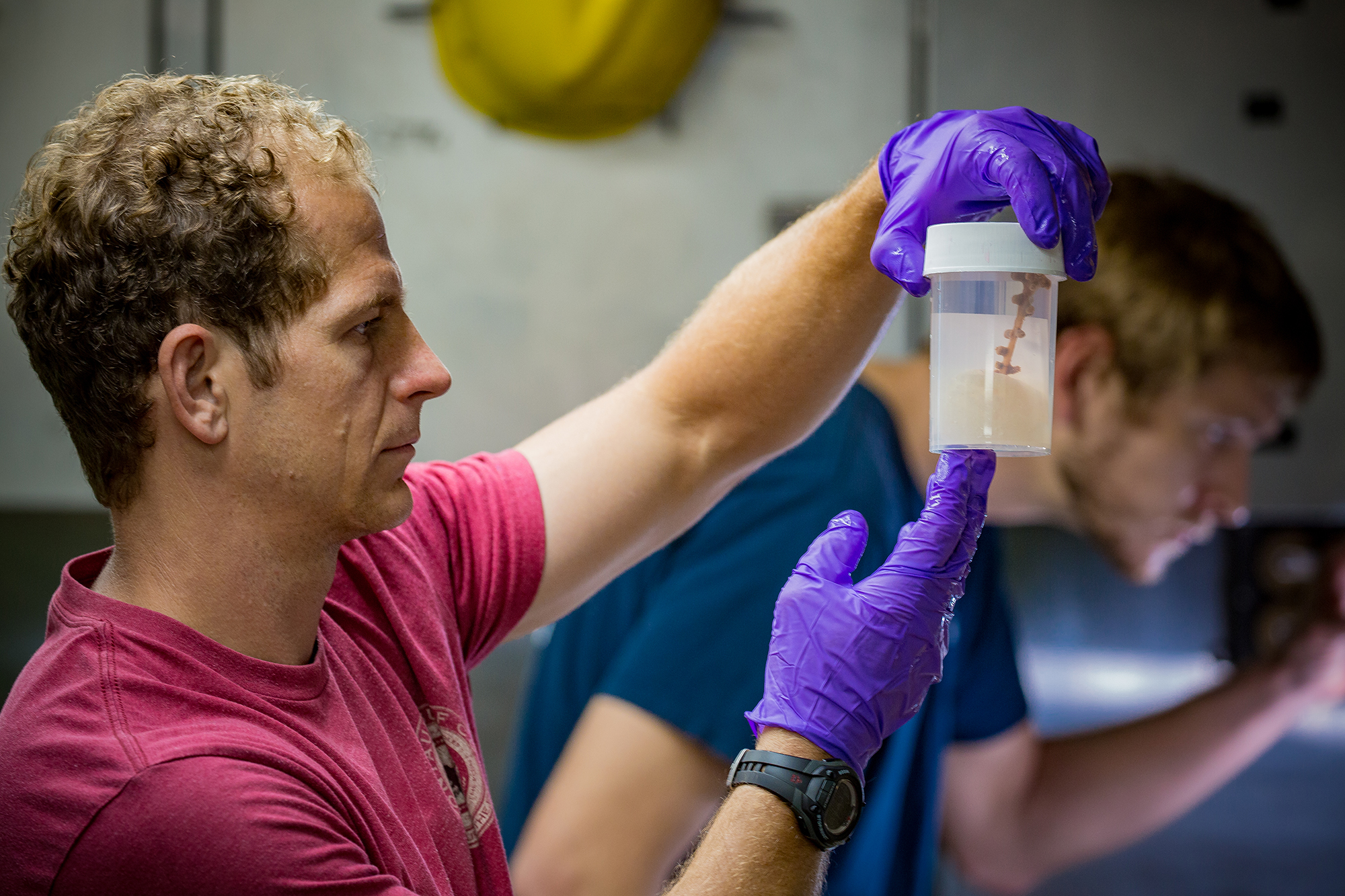
 and Jonathan Tree (background) use the transit days to take a final look at the samples we collected before the samples are packaged up to be sent to their repositories.")