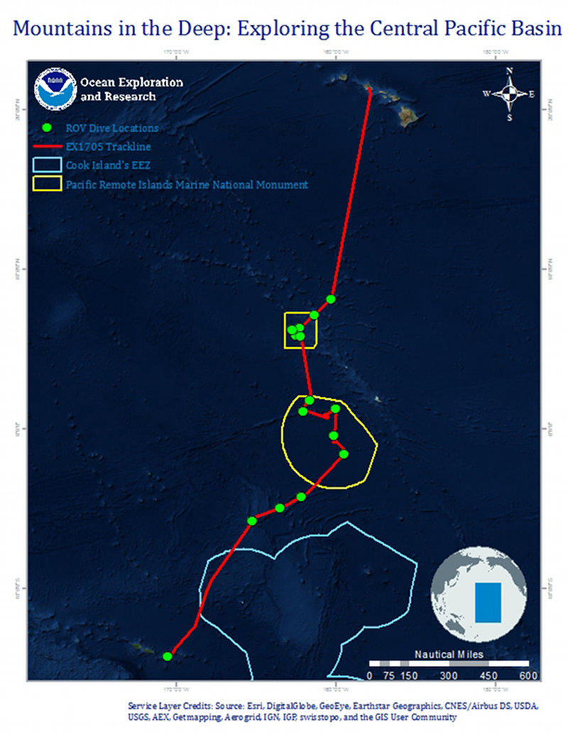

Map of the general expedition operating area. The red line is the rough cruise track from American Samoa to Honolulu during the expedition. The yellow polygons represent the boundaries of the Pacific Remote Islands Marine National Monument, now known as Pacific Islands Heritage Marine National Monument. The light blue polygon designates Marae Moana (Cook Islands). Planned ROV dives are represented by green markers.