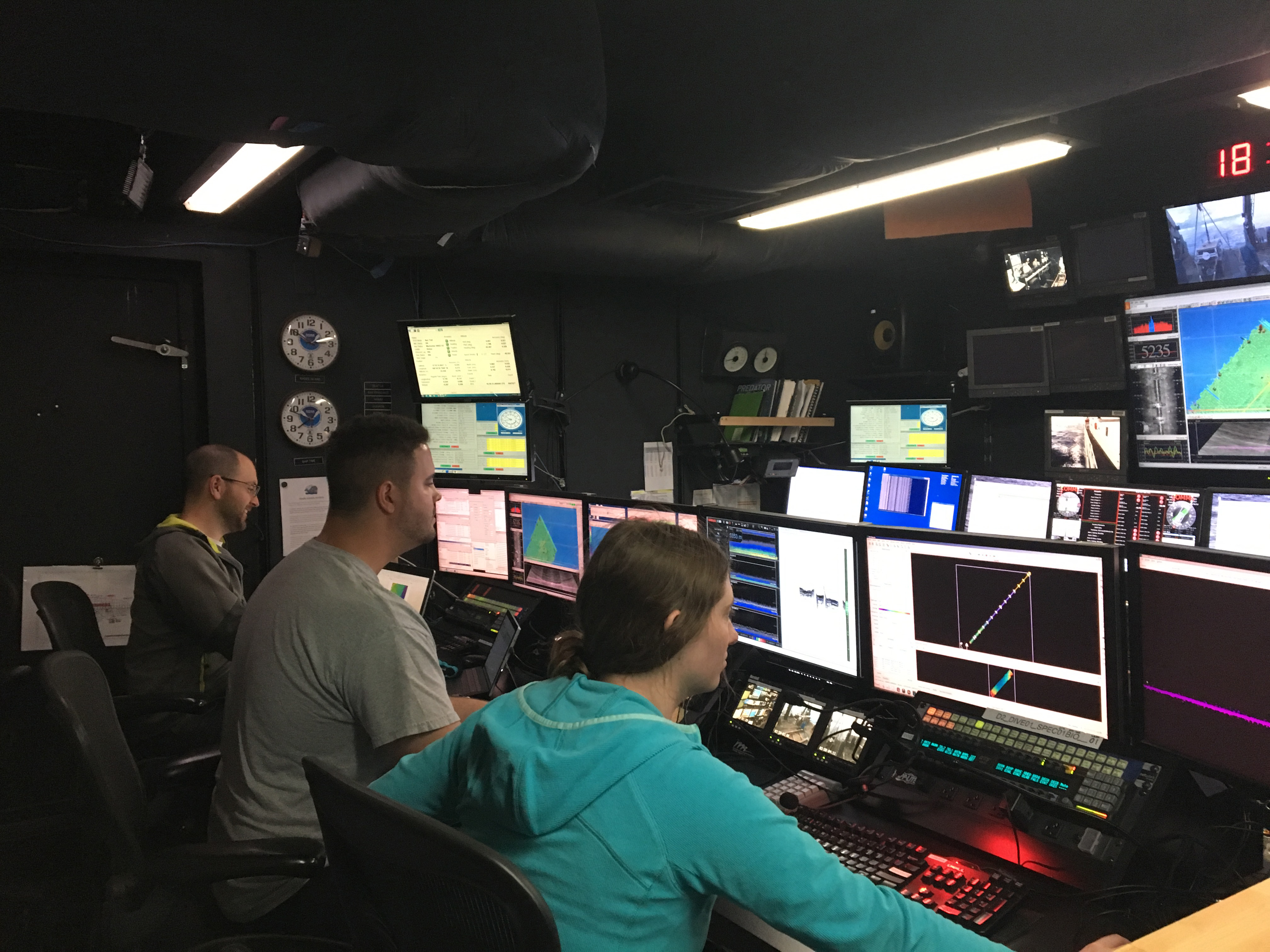
The Okeanos Explorer is transiting northeast from American Samoa to our second operating area along the Northern Manihiki Plateau, near the Northern Cook Islands. During the 60+ hours of transit, the ship is continuously collecting data with three different types of sonar. Today is the first full 24-hour mapping cycle. All systems are working well and we have been able to get started on our mapping products. On these long transits, we cross a lengthy stretch of ocean and are able to collect a continuous record of midwater backscatter data, seafloor bathymetry, seafloor backscatter and upper sediment structure using the three types of sonar on board. Backscatter is defined as the sound intensity that is returned to the ship's sonars and bathymetry is a measurement of depth that tells us what the seafloor looks like, similar to what topography tells us on land. Learn more about the ship's sonar capability and how we map the seafloor here.
Mapping operations on the high seas are incredibly important. These areas are largely unmapped and poorly understood. These new data will provide insights into the structure of the oceanic water column and geology of the seafloor that cannot be gleaned using other mapping platforms, such as satellites. In order to maximize the impact of our mapping operations, we set the trackline (the path the ship will follow) to complement previously mapped areas by matching the edges of existing sonar coverage - this way we add new information to existing datasets and continue to build on the seafloor imagery for the area. Most of the track we have followed today has been deep, muddy abyssal plain greater than 5,000 meters, but we've also been able to map the tops of a few seamounts. While flat muddy seafloor may not be as alluring as seamounts, this is the largest habitat on Earth! At approximately 8:30 pm SST (3:30 am EDT), we came upon one of the day's highlights: a partially mapped volcanic ridge.
