Planning
Image courtesy of the NOAA Office of Ocean Exploration and Research, 2017 Laulima O Ka Moana.
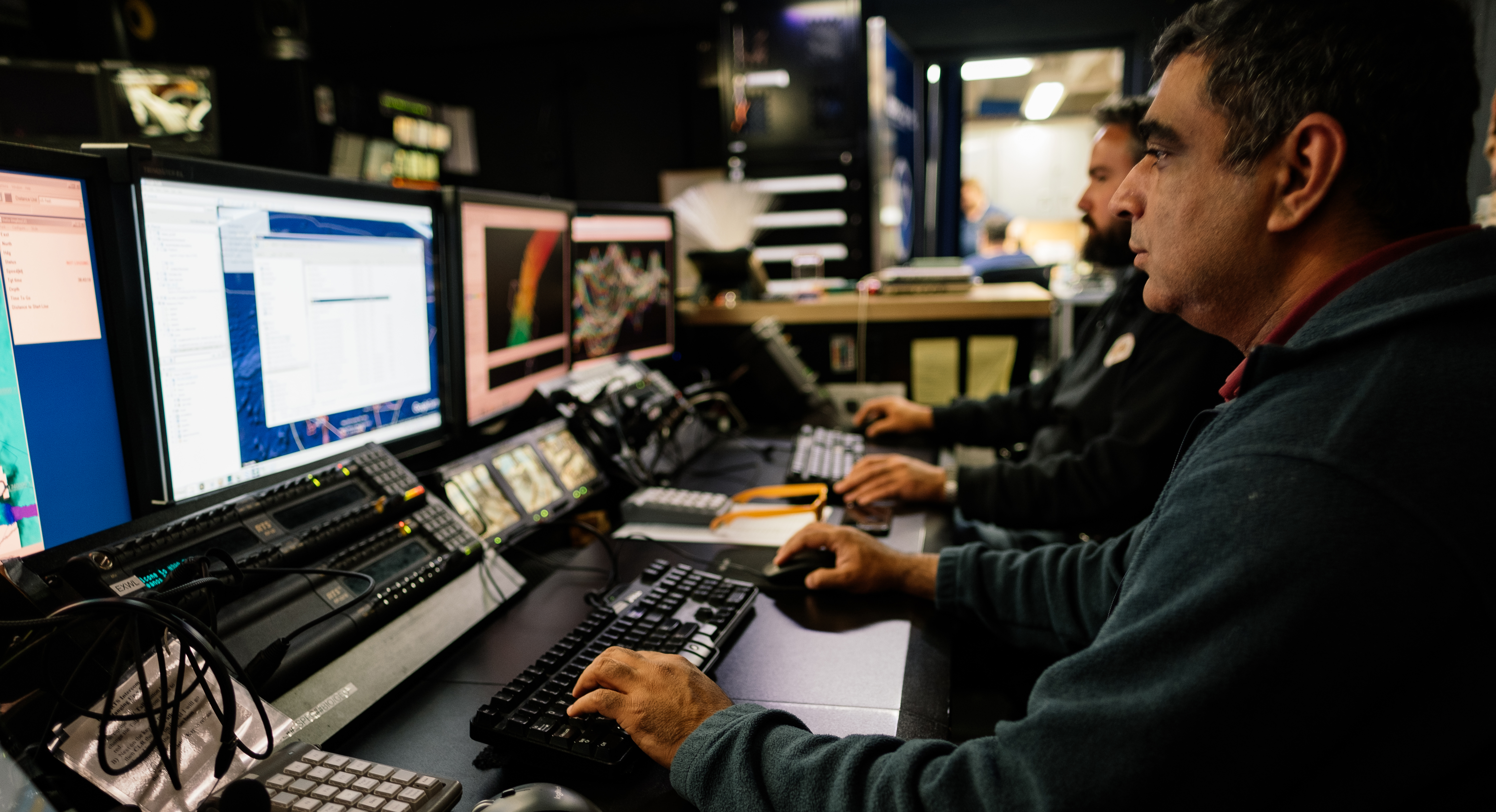
Expedition Mapping Lead, Mashkoor Malik, works on planning the mapping lines the ship will run today since the weather is too poor to dive. Behind him, Survey Technician Charlie Wilkins edits recently acquired multibeam data.
Download larger version (jpg, 8.9 MB).
