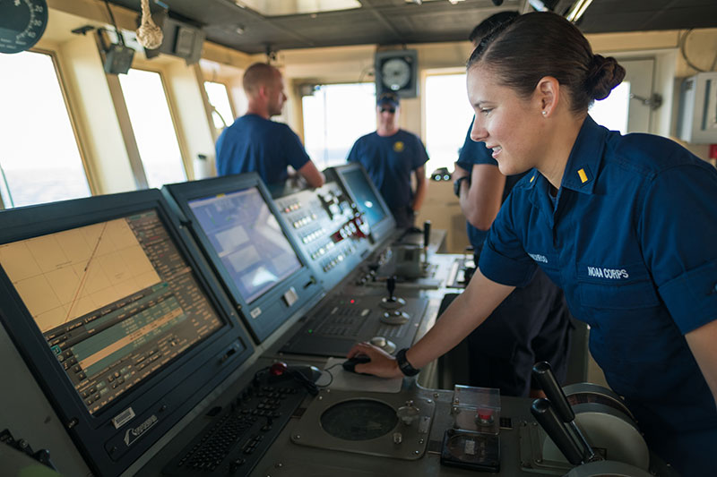
ENS Brianna Pacheco using the ship's Electronic Chart Display Information System (ECDIS) to navigate the ship. ECDIS is an “industrial-sized” navigation app that encompasses electronic navigation charts, GPS, gyrocompass, radar, depth sounder, autopilot, automatic route safety scanning programs and a host of other electronic tools.
Using the ECDIS
Image courtesy of the NOAA Office of Ocean Exploration and Research, 2017 Laulima O Ka Moana.
ENS Brianna Pacheco using the ship's Electronic Chart Display Information System (ECDIS) to navigate the ship. ECDIS is an “industrial-sized” navigation app that encompasses electronic navigation charts, GPS, gyrocompass, radar, depth sounder, autopilot, automatic route safety scanning programs and a host of other electronic tools. Download larger version (jpg, 10.0 MB).
Learn more