Summary Map
Image courtesy of the NOAA Office of Ocean Exploration and Research, 2017 Laulima O Ka Moana.
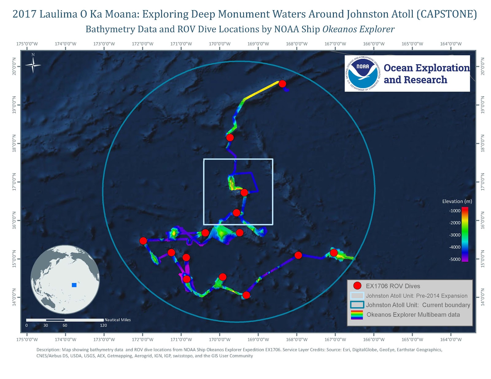
Overview map showing seafloor bathymetry and ROV dives completed during the 2017 Laulima O Ka Moana: Exploring Deep Monument Waters Around Johnston Atoll expedition.
Download map (jpg, 289 KB).
