Map of the general expedition operating area. The white polygon denotes the Gulf of Mexico 2017/2018 expeditions operating area for the Okeanos Explorer. The color-coded bathymetry shows cumulative multibeam sonar bathymetry collected previously by the Okeanos Explorer. Image courtesy of the NOAA Office of Ocean Exploration and Research. Download larger version (jpg, 13.4 MB).
From November 29 to December 21, NOAA Ship Okeanos Explorer and partners will be exploring unknown and poorly known deepwater areas of the Gulf of Mexico, collecting baseline information to help better understand this region.
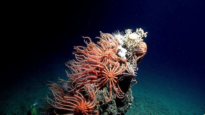
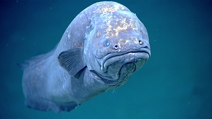
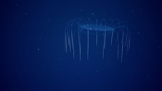
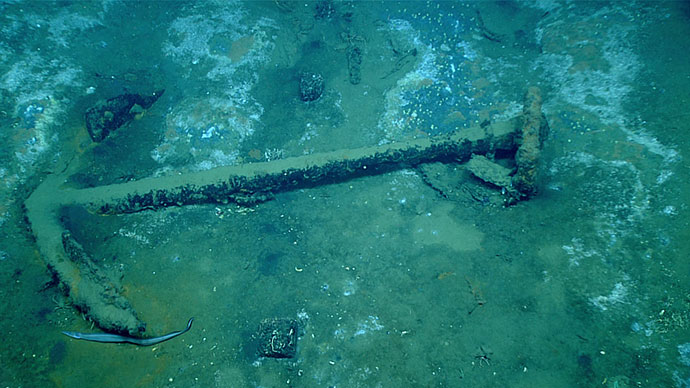
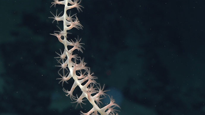
Despite the Gulf of Mexico’s proximity to land and the significant industrial footprint in the area, there is still much to learn about this region. The Gulf contains a wide range of habitats and interesting geological features ranging from brine pools to coral gardens and canyons to mud volcanoes. The Gulf also contains significant submerged cultural heritage sites that have yet to be explored. The expedition will help establish a baseline of information in remote regions to catalyze further exploration, research, and management activities.
NOAA priorities for the expedition include:
During this expedition, the exploration strategy of NOAA Ship Okeanos Explorer will be employed: bathymetric mapping using multibeam sonar; water column exploration using a Conductivity, Temperature and Depth Profiler (CTD); and remote imaging and video with remotely operated vehicle (ROV) Deep Discoverer.
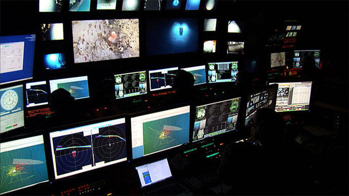
Scientists from around the world will participate in the explorations in real time through telepresence technology. Students and the general public can watch and listen to remotely operated vehicle dives in real time on the NOAA Ocean Explorer website.