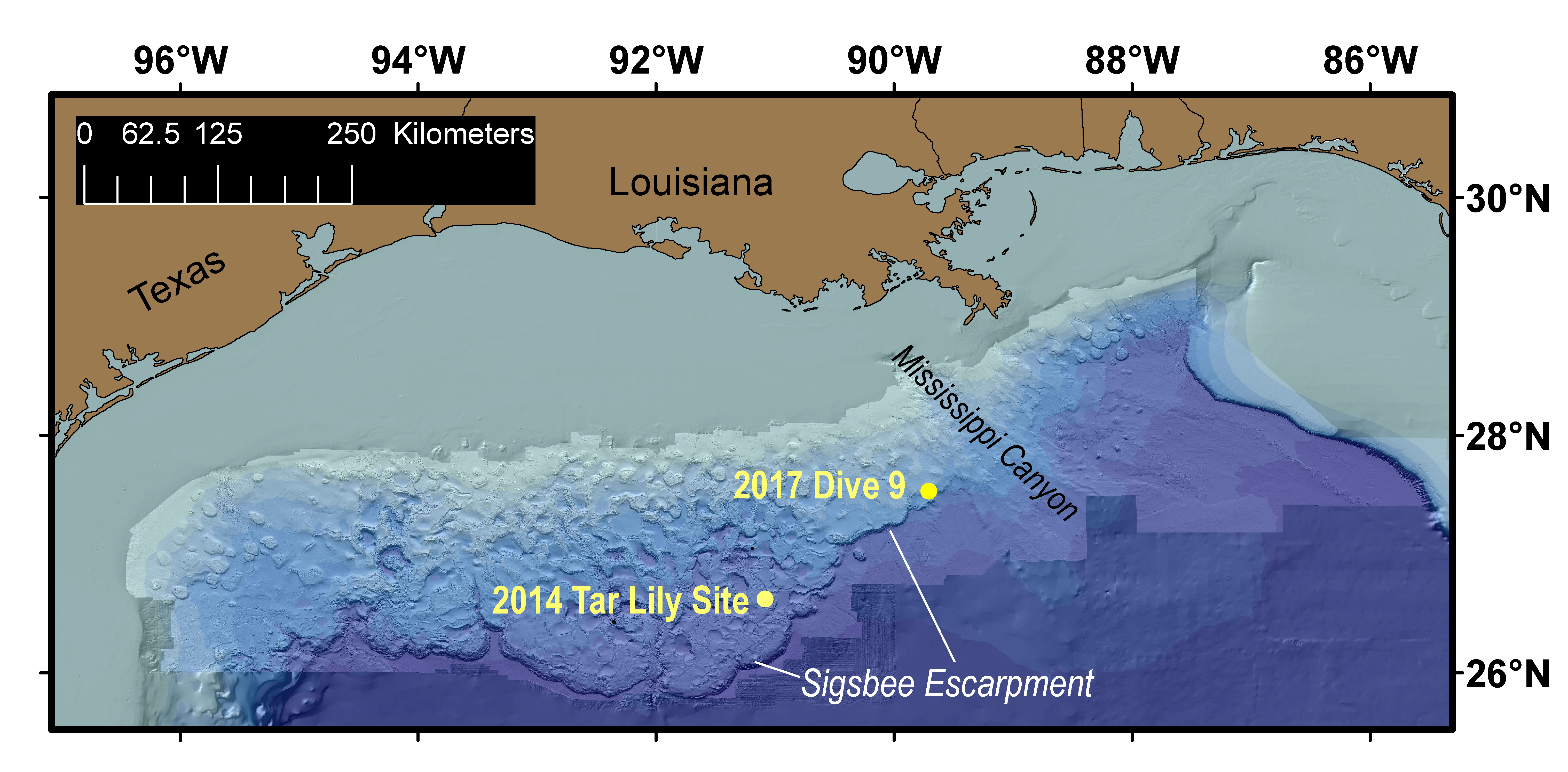
Map showing the northern Gulf of Mexico, with the locations of Dive 09, which discovered an asphalt seep at the seafloor, and the 2014 “tar lily” dive, which found seafloor formations made of extruded asphalt. The Sigsbee Escarpment marks the southern edge of the salt sheet that underlies the northern Gulf of Mexico.
Download larger version (jpg, 4.5 MB).