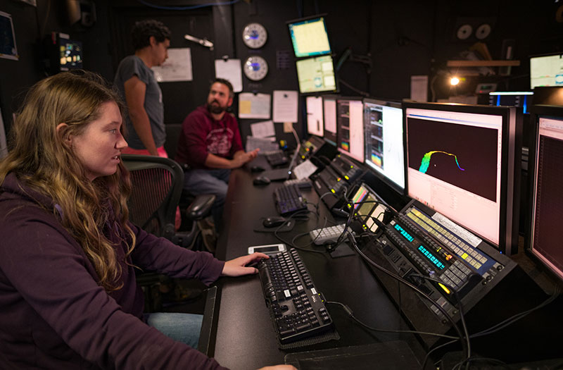
Mapping
Mapping the ocean floor is the first step in exploring our ocean and is a key element of every NOAA Ocean Exploration expedition on NOAA Ship Okeanos Explorer. Here, a mapping watchstander in the ship’s control room edits multibeam data acquired during the 2017 Laulima O Ka Moana expedition.