.")
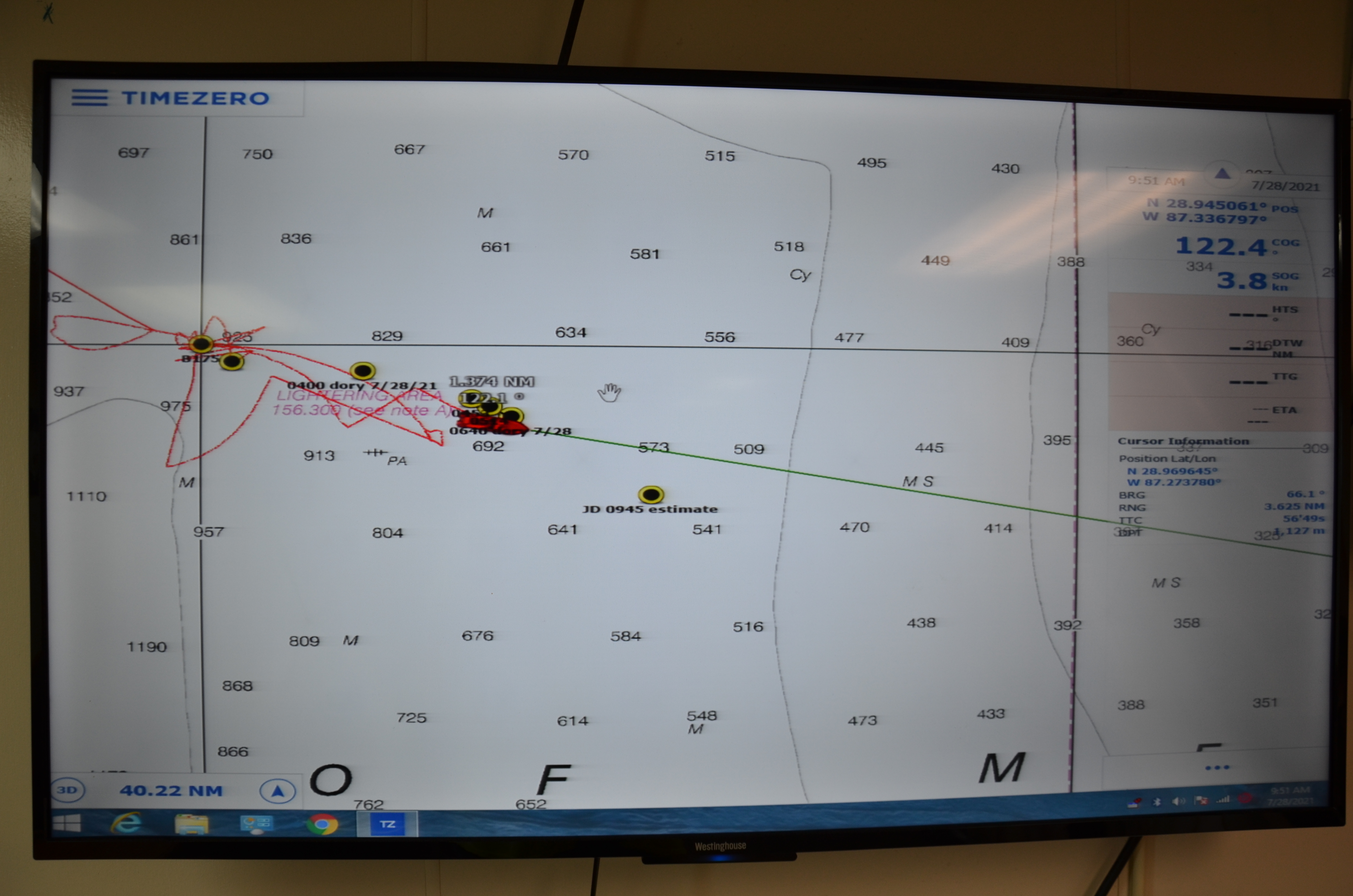
Map of the ship’s location in the Gulf of Mexico. The yellow points are labeled with locations of interest, including location pings from Driftcam “Dory” at 4 a.m. and 6 a.m., and its projected location, based on the two previous points, at 9:45 a.m. (yellow point in the center of the screen).