
by Dr. Jan Albiez, Kraken Robotics
July 30, 2019
Video courtesy of Kraken Robotics and the NOAA Office of Ocean Exploration and Research. Download larger version (mp4, 149.4 MB).
Kraken Robotic’s SeaVision® is a compact underwater laser imaging system that offers the resolution, range, and scan rate to deliver dense 3D point cloud images of subsea infrastructure with millimeter resolution in real time. The system is designed for deployment on underwater robotic platforms such as remotely operated vehicles (ROVs) and autonomous underwater vehicles. A SeaVision® system consists of two units. Each unit has a low-light underwater camera, a high-power LED light, and steerable RGB-line lasers.
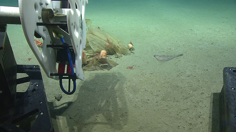
SeaVision® mounted on ROV Deep Discoverer as the mission team prepares to scan marine debris. Image courtesy of Kraken Robotics and the NOAA Office of Ocean Exploration and Research. Download larger version (jpg, 936 KB).
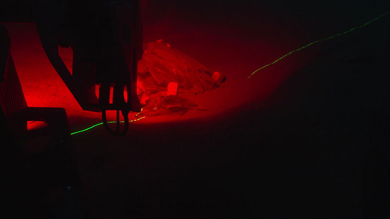
Scanning the same marine debris using red ambient light and a complimentary green laser. Image courtesy of Kraken Robotics and the NOAA Office of Ocean Exploration and Research. Download larger version (jpg, 496 KB).
SeaVision® uses the camera and the steerable laser line projector to sweep a laser line over a scene while recording all images. During recording, the SeaVision® software running on the laser scanner itself analyses each frame online, detects the laser-line in each frame, and uses a special method of triangulation to determine the 3D position of each pixel in the laser-line with sub-millimeter precision. At the end of the laser line sweep, commonly referred to as the "scan,"" all the points are combined into one big file called a point cloud. This point cloud is a metric-correct image of the scene SeaVision® scanned. That means it is possible to measure distances between objects in the scene, for example the thickness of coral stem, or to estimate volumes.
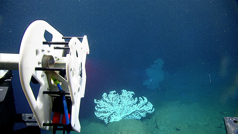
ROV Deep Discoverer approaches a bubblegum coral ready to scan. Image courtesy of Kraken Robotics and the NOAA Office of Ocean Exploration and Research. Download larger version (jpg, 1.1 MB).
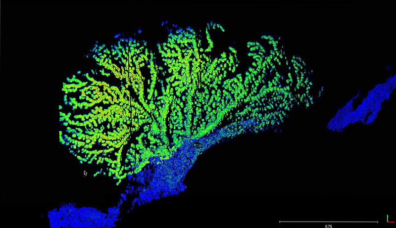
High-resolution 3D point cloud rendering of the scanned bubblegum coral. Image courtesy of Kraken Robotics and the NOAA Office of Ocean Exploration and Research. Download larger version (jpg, 946 KB).
The combination of the full functional camera with the RGB laser line projector and the internal LEDs allows SeaVision® to gather a lot of additional information: The strength of the laser line reflection on the target can be recorded and displayed as color information; a color image taken before or after the scan can be projected on the image to give the points real-life color values; and using a complementary color to the laser while scanning (e.g., green laser and red light) enables tracking and correcting for motion in the scene.
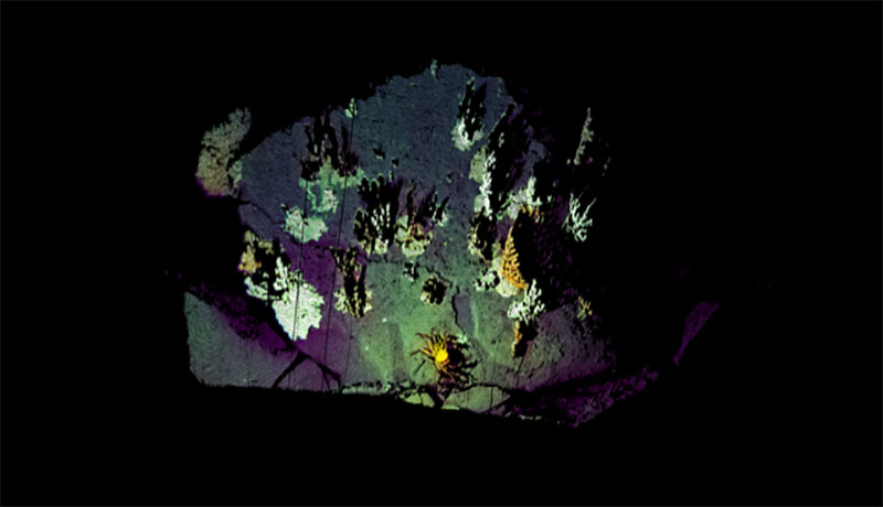
High-resolution point cloud of a rock with various bubblegum corals. The point cloud uses an image taken by the SeaVision® camera as source for the real colorization. Image courtesy of Kraken Robotics and the NOAA Office of Ocean Exploration and Research. Download larger version (jpg, 116 KB).