Investigation of a Historic Seabed Mining Equipment Test Site on the Blake Plateau
July 31-August 12, 2022
Expedition Summary
From July 31-August 12, 2022, the Bureau of Ocean Energy Management (BOEM), the U.S. Geological Survey (USGS), and NOAA Ocean Exploration explored a site on the Blake Plateau offshore of the Georgia coast. The specific purpose of the expedition was to better understand the long-term environmental impacts on the seafloor of experimental deep-sea resource-extraction technologies used at the site in the 1970s and generally any implications for potential similar deep-sea activities.
In 2019, an expedition on NOAA Ship Okeanos Explorer mapped and briefly explored the site with a remotely operated vehicle, collecting some baseline data about the condition, biology, and geology of the site to inform and spur further research. In 2022, scientists returned to the site on Ocean Infinity’s ship Deep Helder to get a highly detailed and more complete look at the site.
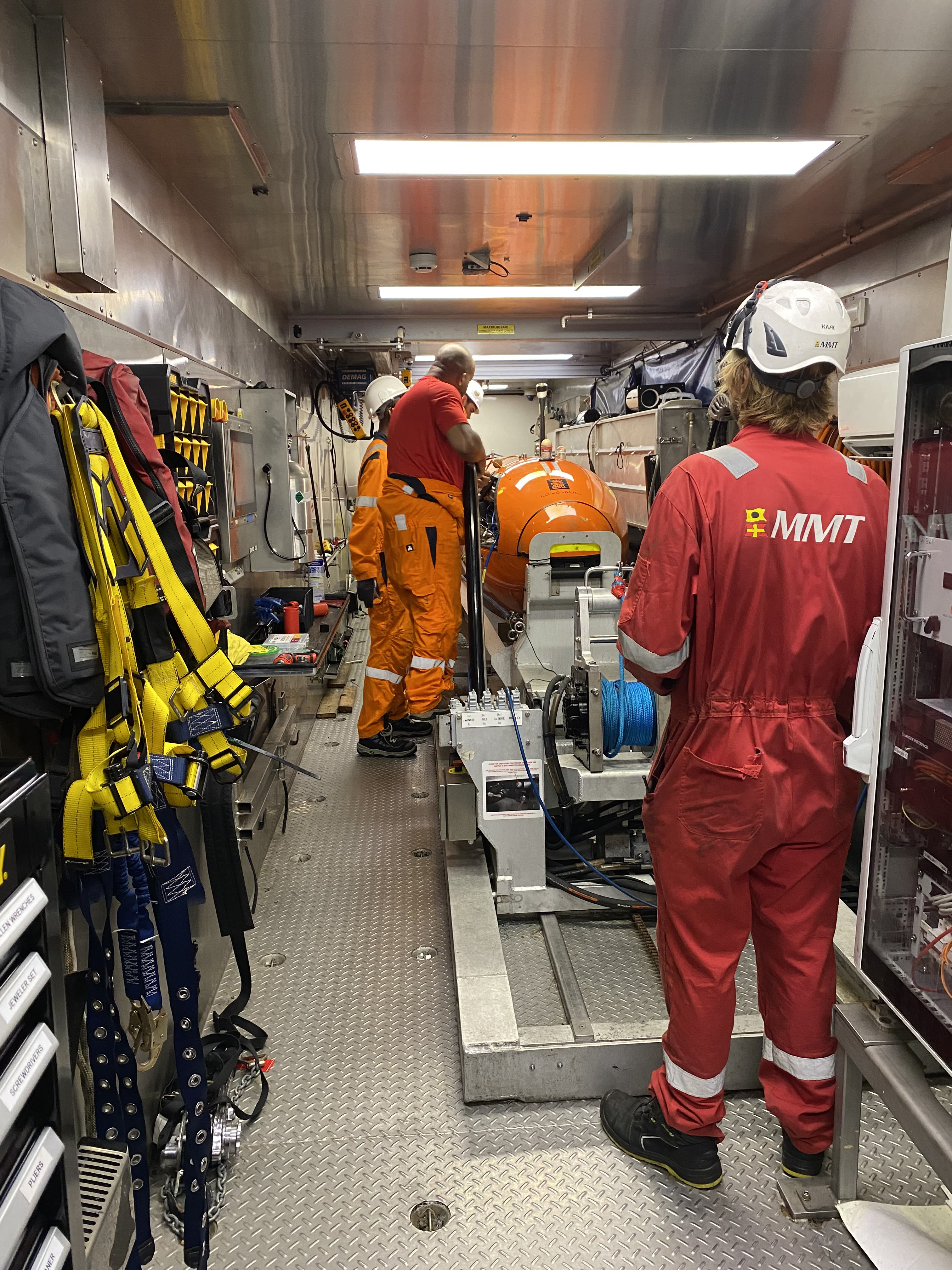
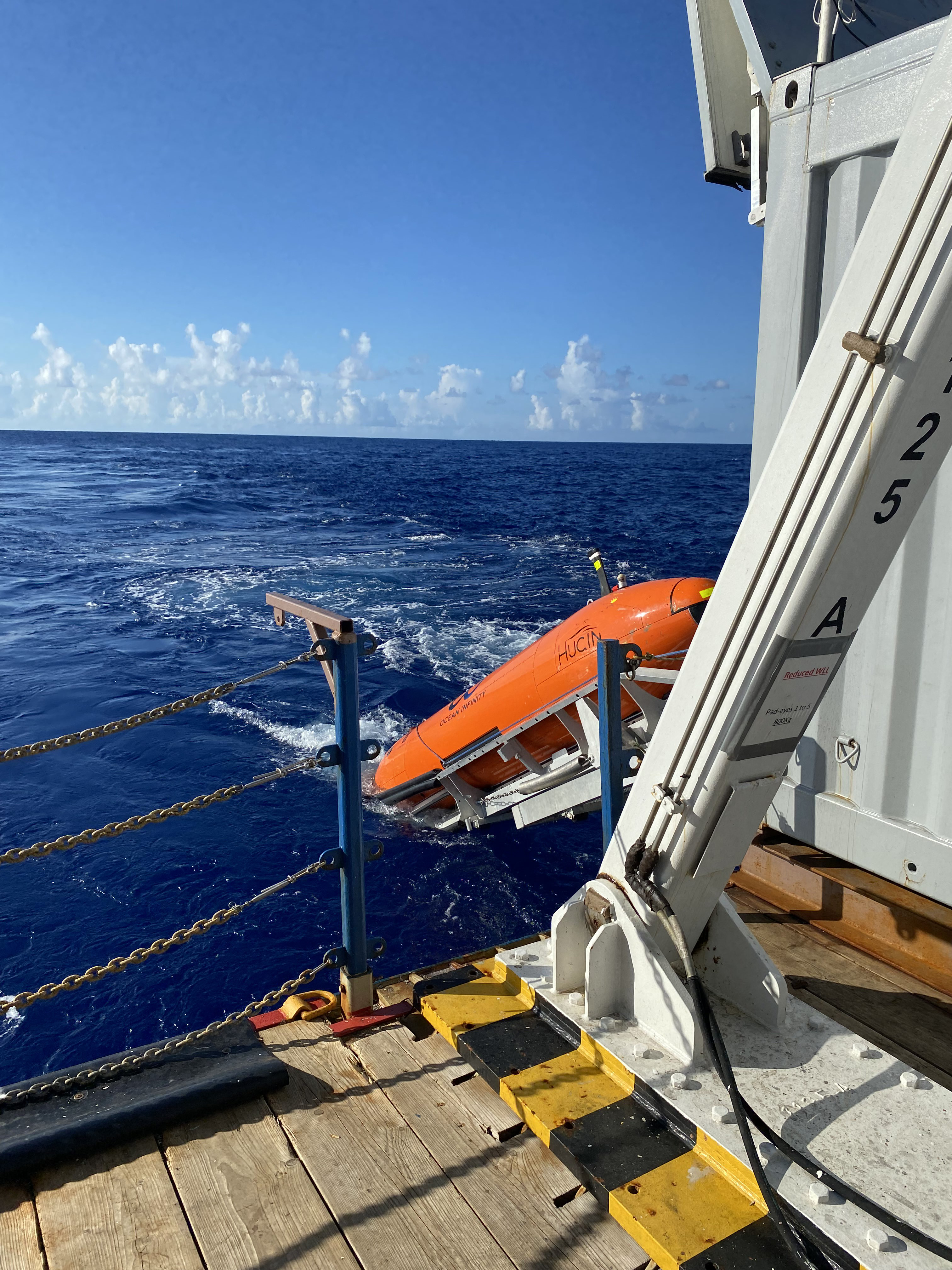
For this new survey effort, the team used Ocean Infinity’s HUGIN 6000 autonomous underwater vehicle (AUV) equipped with multibeam and side-scan sonar systems, a sub-bottom profiler, a high-resolution camera, a magnetometer, and conductivity, temperature, and depth (CTD) and turbidity sensors. Programmed on the surface, the HUGIN performed seven pre-planned dives at the site to depths of 780-820 meters (2,559-2,690 feet) over the eight days on site, collecting several terabytes of geophysical data and imagery, including high-resolution seafloor mapping data at resolutions of 1 meter or better.
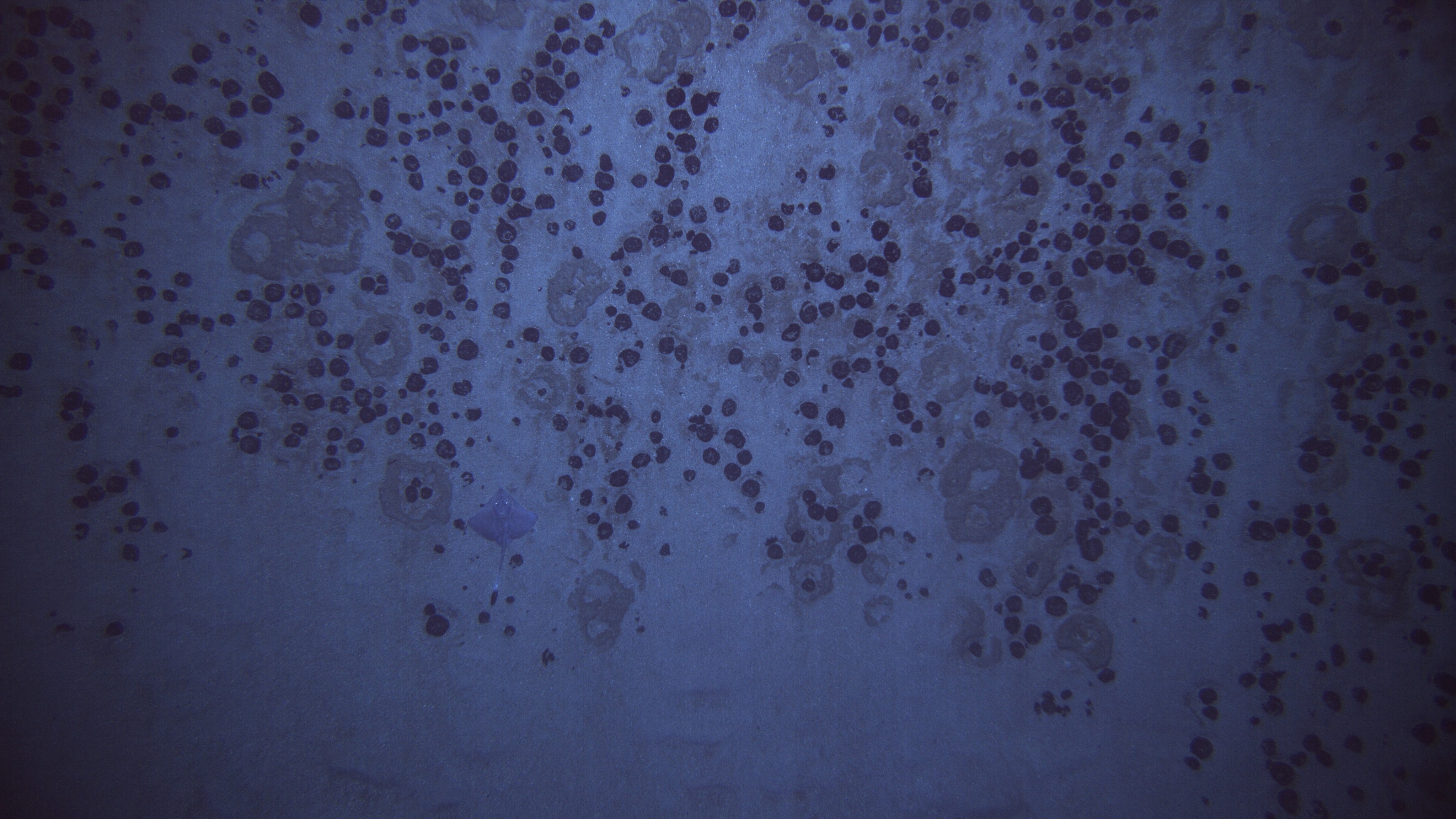
These new data enabled the partners to confirm that evidence of bottom disturbance from 1970 was both widespread and definable across the study area. In addition, the team was able to locate 35 of the 119 concrete blocks deployed on the seafloor by the USGS in 1982 (based on an initial analysis). These new data will be used to characterize the seafloor morphology, surficial geology, and benthic communities over the approximately 50-square-kilometer (19-square-mile) area. These results will allow the team to develop a precise, cost-effective sampling design and methodology for future data collection at the site. BOEM and the USGS will further analyze these data to quantify the extent of the impacts, search for visual signs of ecosystem recovery, plan for additional research, and, ultimately, inform reviews, future decisions, and mitigation measures related to deep-sea mining in other areas.
This expedition continued a long tradition of interagency collaboration. NOAA, BOEM, and the USGS have been working together to explore the ocean off the U.S. mid-Atlantic and southeast coasts for many years. While BOEM and the USGS led the scientific operations for the partners’ 2022 return to the Blake Plateau, Sam Cuellar, an expedition coordinator with NOAA Ocean Exploration, joined the expedition to observe and document the HUGIN operations and evaluate how the AUV, or other similar AUVs, could be incorporated into NOAA Ocean Exploration’s operations.

Published September 19, 2022
Investigation of a Historic Seabed Mining Equipment Test Site on the Blake Plateau contributed to the National Strategy for Exploring, Mapping, and Characterizing the United States Exclusive Economic Zone and Seabed 2030 .