

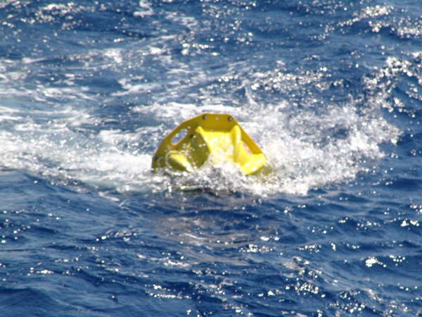
A transponder is deployed! Once the transponders are anchored on the sea floor, the team deploys the vehicles. While we are exploring the sea floor with underwater vehicles, these transponders constantly report our position relative to the fixed points. This information is merged with a mix of sensors, enabling us to methodically and systematically survey the sea floor, and to create detailed maps of our sensor data. This will allow future scientists to document changes to the site over time. Image courtesy of Project PHAEDRA 2006, WHOI, HCMR, Thera Foundation, NOAA.