
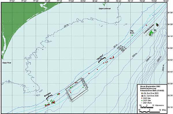
Cruise planning chart of research areas created with GIS and GPS application software. Different colored dots indicate potential sampling stations. Image courtesy of Islands in the Sea 2002, NOAA/OER.

Cruise planning chart of research areas created with GIS and GPS application software. Different colored dots indicate potential sampling stations. Image courtesy of Islands in the Sea 2002, NOAA/OER.