Multibeam bathymetric map of a section of the submerged cliff line surounding Bermuda at 100 m depths. Note the vertical gullies that are cut into the cliff face.

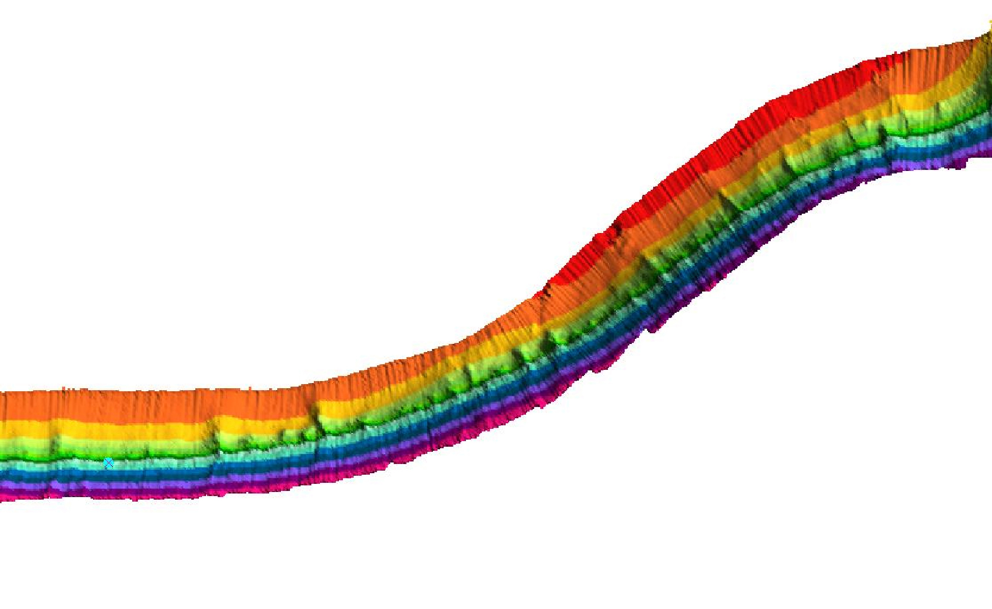
Multibeam bathymetric map of a section of the submerged cliff line surounding Bermuda at 100 meter (328 foot) depths. Note the vertical gullies that are cut into the cliff face. Image courtesy of Jill Heinerth, Bermuda: Search for Deep Water Caves 2009.

Related Links

Bermuda 2009

Bermuda 2009: How Multibeam Sonar Works

NOAA Ocean Explorer Gallery

Download high-resolution image (jpg, 696 Kb)