
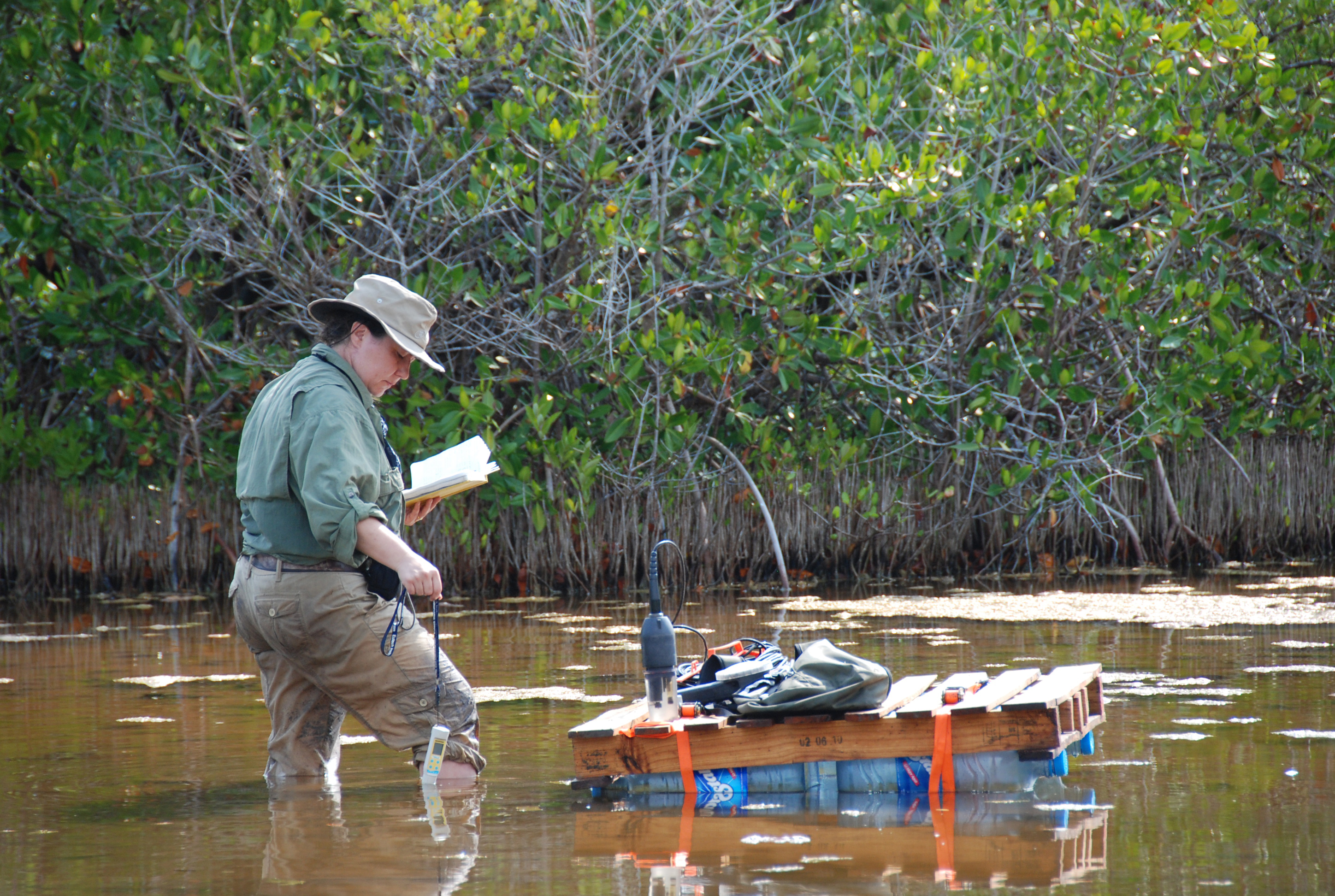
Standing knee-deep in a partially enclosed lagoon-like area near Vista Alegre, Trish Beddows measures the salinity and pH of the water to gather another data point for the salinity map of the area surrounding Vista Alegre. The waters in this area had unexpectedly high salinity levels.