By Olivia McDaniel, Archaeologist - Lighthouse Archaeological Maritime Program
August 16, 2014

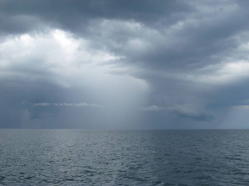
Another afternoon storm put our afternoon dive operations on hold for a few hours. Luckily, these storms usually pass through quickly, and we are able to get back in the water by 16:45. Image courtesy of Image courtesy of the Search for the Lost French Fleet of 1565 Expedition, NOAA-OER/St. Augustine Lighthouse & Museum. Download larger version (jpg, 227 KB).
It is Saturday afternoon aboard the R/V Roper, and we find ourselves waiting out yet another storm. The visiting vessel, Sea Spirit, departed around 14:30 (2:30 pm) and we are currently swinging on our bow anchor near Target 1. For almost two hours, we wait for the storm to pass and the seas to calm, but then we can get back to work!

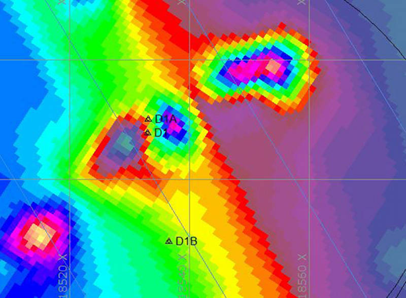
This magnetic contour map shows some of the magnetic anomalies at Target 1, Drop 1. The previous crew tested Drop 1B (denoted in this map as D1B) on 10 August, but we have decided to test further at D1, which is only three meters south of the actual location of our buoy (D1A). D1 is situated between areas of high and low readings, shown in colors on this contour map, and is likely to be close to the source of this anomaly. Brendan Burke and Olivia McDaniel tested the area around D1 and D1A today. Image courtesy of Image courtesy of the Search for the Lost French Fleet of 1565 Expedition, NOAA-OER/St. Augustine Lighthouse & Museum. Download image (jpg, 82 KB).
After completing two separate areas of probes on Target 1 during the second cruise, we moved on to other targets. However, we have decided to take another look at the two components of interest at this target. When we’d originally dropped the buoy at Drop 2, our divers had moved the buoy to an area some distance to the south (designated Drop 2B), having followed the signals from the handheld mag.

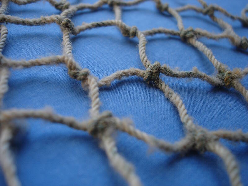
Here we see a small piece of the net we found buried in the sand with the loose nylon line and stainless steel wire at Target 1, Drop 1. Image courtesy of Image courtesy of the Search for the Lost French Fleet of 1565 Expedition, NOAA-OER/St. Augustine Lighthouse & Museum. Download larger version (jpg, 306 KB).
But when we plotted that location using our Hypack software, we saw that it was definitely south of the heart of the magnetic anomaly identified during the refinement magnetometer survey at the start of Cruise 2.
So we decided to return and place one more set of probes closer to the original numbers of the Drop 1, just to be sure we cover the target thoroughly.
Upon arrival, we drop a new buoy, designated Drop 1A, and once we GPS its location and plot it, we see that it is only three meters north of the spot we wanted, Drop 1. At 16:45 (4:45 pm), Brendan Burke and I (Olivia McDaniel) descend to begin probing the third area. We begin by completing 20 probes, one every meter, along a North/South transect line. We find nothing.

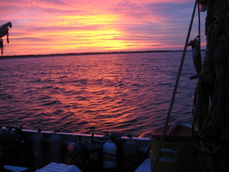
While trying to conduct diver operations in the lightning strike capital of the world can be frustrating, all the weather certainly makes up for itself in the sunsets it creates. Image courtesy of Image courtesy of the Search for the Lost French Fleet of 1565 Expedition, NOAA-OER/St. Augustine Lighthouse & Museum. Download larger version (jpg, 314 KB).
We ascend to the surface at 18:20 having found nothing but modern debris. In some cases, the discovery of modern debris tells us that the cause of an anomaly is modern, like the fuel tank we discovered at target E3T on the 14th. In this case, because we did not find any large metal objects, we are still unsure what caused the anomaly. This area could be the site of a shrimp boat wreck, or where a shrimp boat somehow lost a net and its associated tackle overboard.
Alternatively, it could be where a shrimp boat snagged and subsequently lost its net due to exposed wreckage from a historic shipwreck. Because of this latter possibility, we don’t want to abandon this target just because of the presence of modern trawl net material. We will therefore continue testing Target 1, Drop 1 in the morning, by probing two additional, diagonal transects.