By Megan Metcalfe, Wessex Archaeology & Amanda Evans, Coastal Environments, Inc.
And so here we are, back on dry land after 12 exciting days at sea. It’s been a productive couple of weeks; in total we have acquired 668 line kilometers of data, surveyed all the grids that had been planned, and even had time to conduct survey at a few extra areas. All of the collected survey data should help create an even better understanding of what the landscape in this area might have looked like many thousands of years ago.
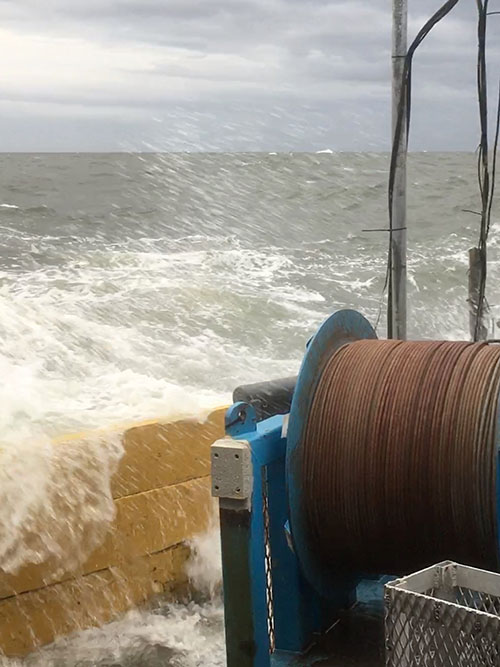
We benefitted from blue skies and calm seas for most of our time offshore, but in the end the weather turned on us. The storm that brought heavy rainfall to areas of southeastern Texas and the Lower Mississippi valley also saw us battling strong winds and large swells out at sea.

Storm swells break over the side of the survey vessel. Image courtesy of Paleolandscapes and the ca. 8,000 BP Shoreline of the Gulf of Mexico Outer Continental Shelf. Download larger version (jpg, 2.4 MB).
It’s safe to say we had a bumpy last few days onboard. In the end, the storm got the better of us and we decided to play it safe and head in earlier than planned. Unfortunately, stormy seas are an occupational hazard when doing work offshore. We knew weather was the one thing we had no control over, but we accomplished more than we planned.

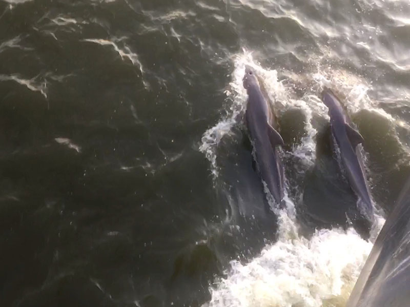
Dolphins race the bow of the R/V Nikola during transit between survey sites. Image courtesy of Paleolandscapes and the ca. 8,000 BP Shoreline of the Gulf of Mexico Outer Continental Shelf. Download larger version (jpg, 1.9 MB).
Despite the weather, I think it’s safe to say that the trip was a success; with over 155 GB of data acquired, we have our work cut out for us as we begin mapping out these past landscapes. As mentioned previously, it has taken a lot of people, a lot of time, and a lot of work to get us to this stage. I’m sure we speak for our fellow scientists when I say that we are extremely grateful to everyone, both onboard the R/V Nikola and in the various offices in the United States and the United Kingdom, who have helped to make it possible.

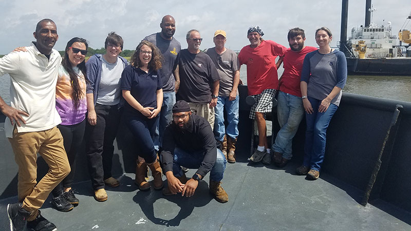
The crew, from left: Kelvin, Alex, Louise, Megan, Gilbert, Darren, Scott, David, Corey, and Amanda; in front, James. Image courtesy of Paleolandscapes and the ca. 8,000 BP Shoreline of the Gulf of Mexico Outer Continental Shelf. Download larger version (jpg, 4.6 MB).
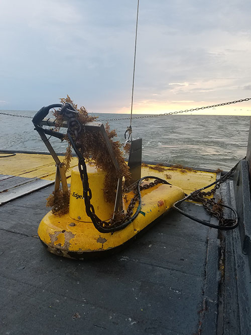
Of course, this is only the beginning. Now that we’ve acquired this data, we need to process and interpret it. Based on what we saw during the acquisition of both the chirp and parametric sonar data, there are several areas that have the potential of being preserved land surfaces which might be of archaeological interest. The parametric performed better than we expected and combined with the chirp, we have fantastic data sets to work from. We didn’t blog much about our chirp subbottom profiler, but it gave us exactly what we knew it would, and that was reliable and consistent data.

Covered in seagrass, the chirp subbottom profiler sits on deck following completion of a survey grid. Image courtesy of Paleolandscapes and the ca. 8,000 BP Shoreline of the Gulf of Mexico Outer Continental Shelf. Download larger version (jpg, 5.7 MB).
After we have finished the interpretation, we will need to select which areas to target for geotechnical sampling; the hard part will be trying to narrow down where we want to core. Coring, which involves collecting six-meter-long tubes of sediment, will take place in project Year 2. Once the coring is complete, analysis on the samples will be carried out and we can perhaps start to add dates to the different features. A combination of the marine geophysics and the geotechnical sampling will mean we can hopefully build a more accurate picture of what the landscape looked like, and what may have been living and growing in the area at the time. Thanks for following our expedition and stay tuned for updates during the next phase!