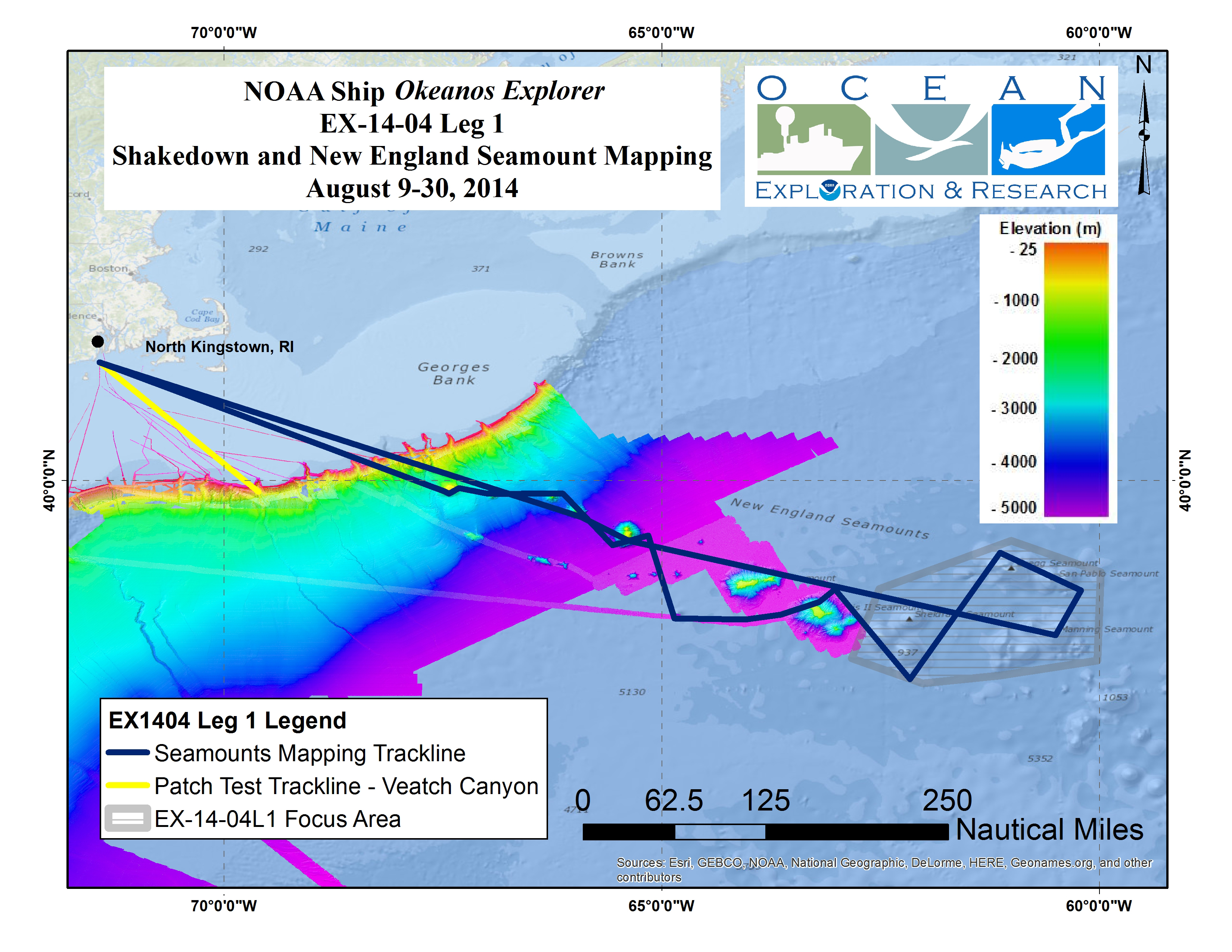
Color-coded bathymetry previously collected by Okeanos Explorer and by the University of New Hampshire’s Center for Coastal and Ocean Mapping UNCLOS expeditions, shown in the background of the operating area for context. Map created with ESRI ArcMap software.Download larger version (jpg, 3.0 MB).
Map showing the area where the Okeanos Explorer conducted operations during Leg 1.
