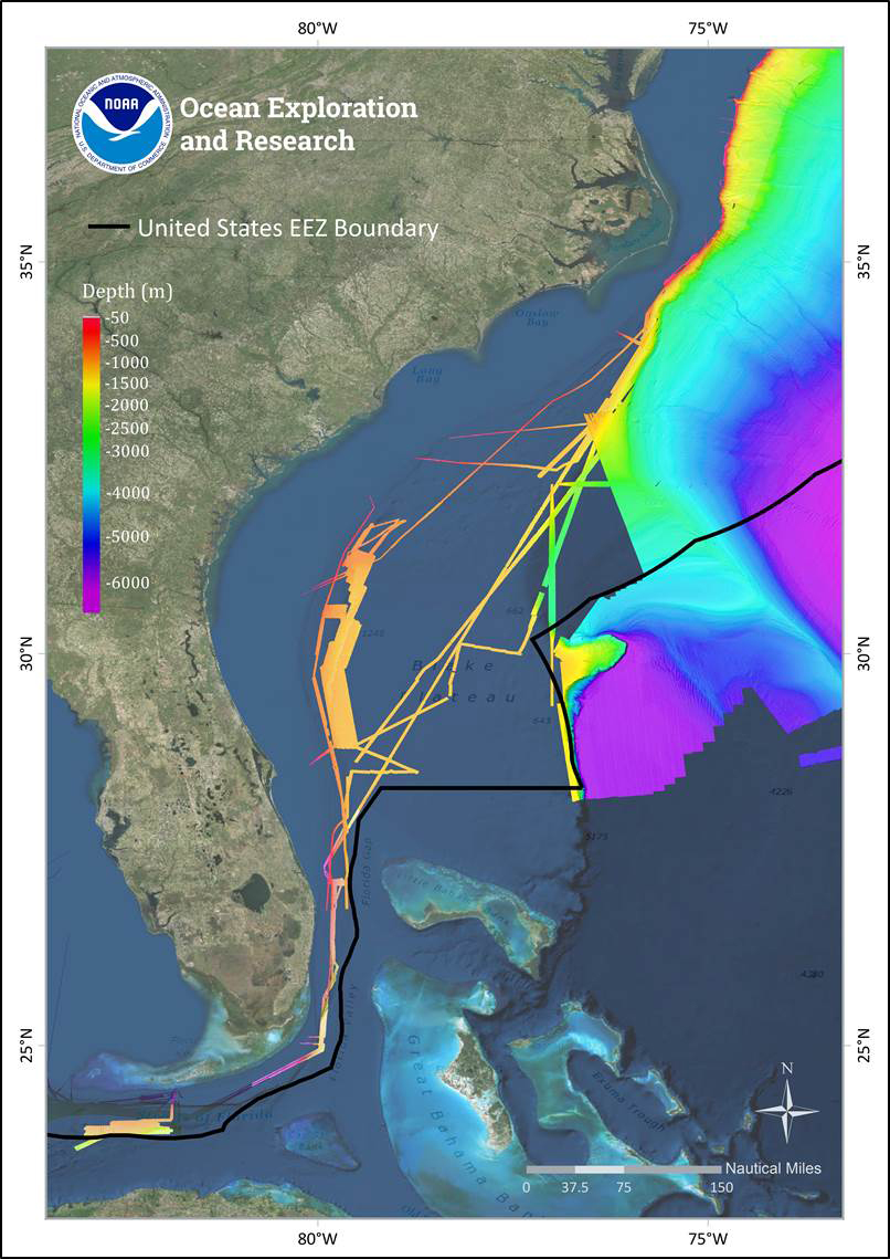
East Coast Bathymetry
Over the past decade, NOAA Ship Okeanos Explorer and the U.S. Extended Continental Shelf Project have mapped much of the deepwater habitats offshore the U.S. east coast (assembled bathymetry shown above), but much of the Blake Plateau remains unmapped and poorly explored. This expeditions will contribute much needed ROV surveying and bathymetry data to build upon this foundation.
, but much of the Blake Plateau remains unmapped and poorly explored. This expeditions will contribute much needed ROV surveying and bathymetry data to build upon this foundation.")