By Kyler Abernathy, National Geographic Exploration Technology Lab
and Lu Wang, NOAA Ocean Exploration
“A picture is worth a thousand words.” Video is generally made up of 30 pictures (frames) per second – so videos are worth LOTS of words. Scientists can extract a lot of information from images or videos.

The Second Star Robotics and National Geographic team working on the Driftcam. Image courtesy of Kyler Abernathy, National Geographic Society Download largest version (jpg, 8.9 MB).
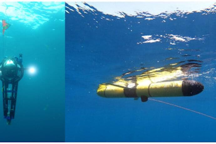
The National Geographic Society Driftcam is an untethered mid-water imaging system, built to collect detailed information about ocean animals via high-resolution video, at depths as deep as 700 meters (2,297 feet). The Driftcam is also equipped with two LEDs which provide light for its cameras in the deep ocean.

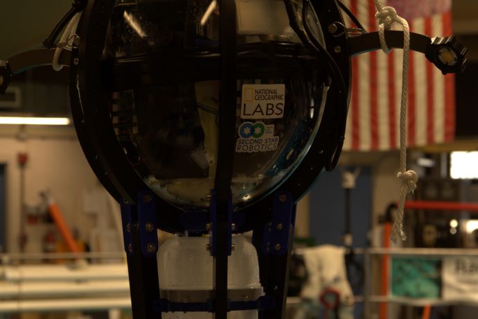
A closeup of the cameras enclosed within the glass sphere of the Driftcam. To the right of the sphere is one of the LEDs that provides lighting to the video cameras in the depths of the mid-ocean. Image courtesy of From Aggregations to Individuals: Exploring Migrating Deep-Sea Scattering Layers Through Multiscale-Multimode Technologies in the Gulf of Mexico Download largest version (jpg, 2.5 MB).
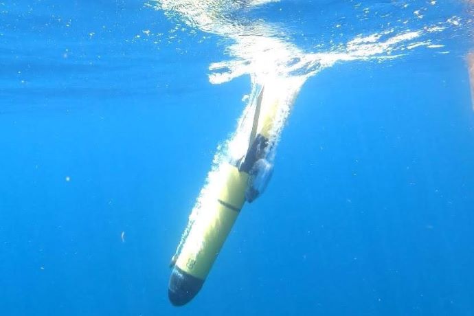
The device is able to adjust its own buoyancy, pumping lighter-than-seawater mineral oil into or out of an external bladder, causing the Driftcam to move up or down in the water column. Its actions can be directed either by acoustic command by an operator on a vessel, or autonomously following a program pre-loaded in its internal computer. Quietly hanging in the water, drifting along with the natural water movement, the Driftcam collects video of mid-ocean organisms such as those in the scattering layer (SL) with minimal disturbance.

Labeled diagram of the Driftcam. Image courtesy of Eric Berkenpas, Second Star Robotics. Download largest version (jpg, 83 KB).
The view from any one camera is limited, so the Driftcams were also designed to be deployed in groups, simultaneously collecting imagery from different parts of the SL, spaced both horizontally and/or vertically. Because ocean currents tend to be stronger near the water surface, we can manipulate changes in the horizontal spacing of Driftcams by moving them up or down the water column, which will allow the Driftcams to drift horizontally at different speeds to achieve our desired spacing.

The Driftcam being tested at the Neutral Buoyancy Research Facility at the University of Maryland. Image courtesy of Eric Berkenpas, Second Star Robotics. Download largest version (jpg, 106 KB).
One of the goals of this expedition is to deploy three Driftcams simultaneously, coordinating with each other to properly position themselves in the water column. By combining the fine-scale information about species and behavior available from the imagery with different types of data, such as temperature, salinity, and echosounder data collected by other ship-based or free-roaming types of instruments, we can develop a multi-faceted view of this important, global, ocean ecosystem.
Published July 28, 2021