Map of area offshore Rhode Island and Cape Cod, Block Canyon indicated in grey box. Brightly colored bathymetry data is a compilation of Okeanos Explorer and Extended Continental Shelf Project data and reveals numerous submarine canyons.
Bathymetry Data
Image courtesy of the NOAA Office of Ocean Exploration and Research. Download larger version (jpg, 2.8 MB).
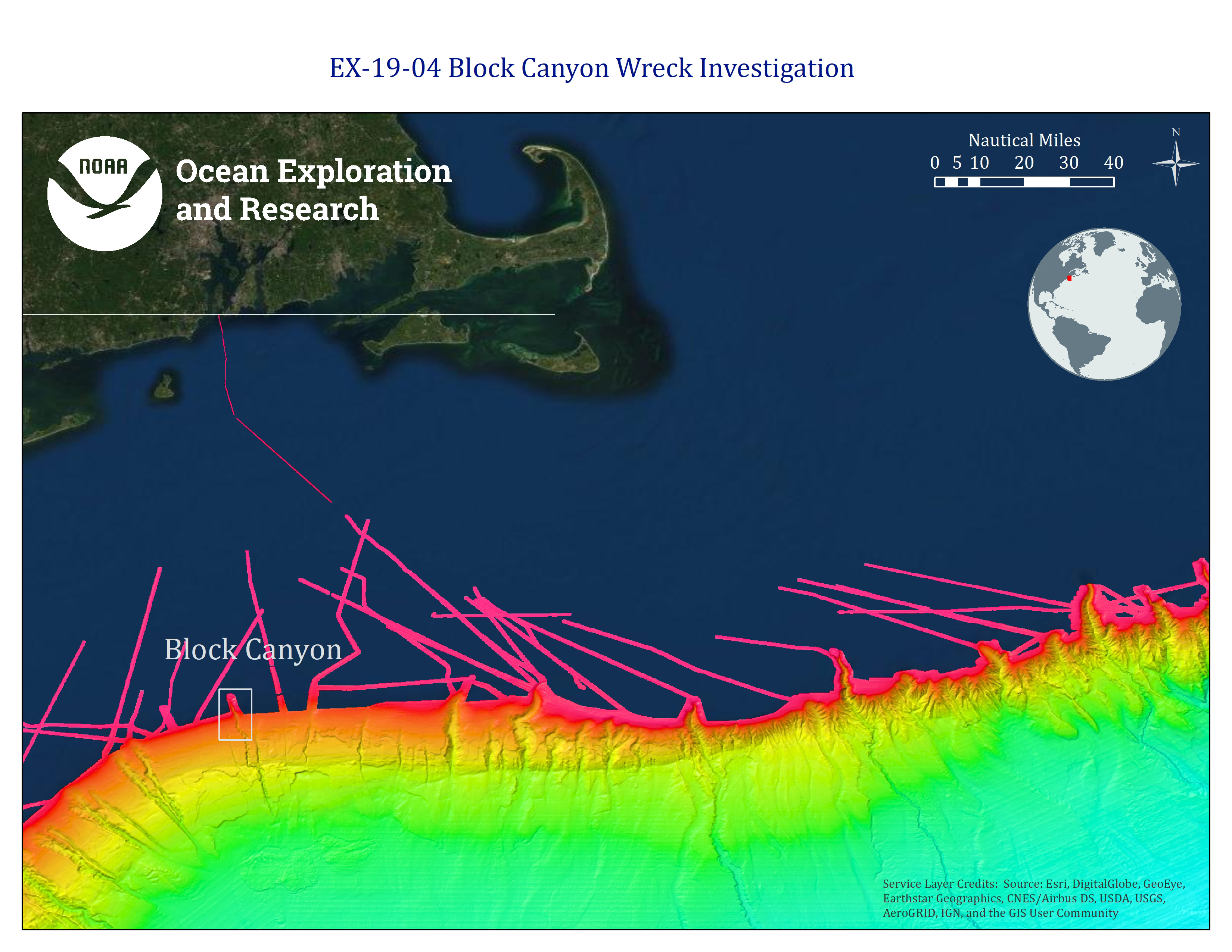
Map of area offshore Rhode Island and Cape Cod; Block Canyon indicated in grey box. Brightly colored bathymetry data are a compilation of Okeanos Explorer and Extended Continental Shelf Project data and reveals numerous submarine canyons.
Learn more