

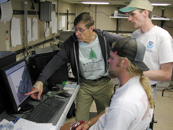
Chief scientist Charlie Barans (left), expedition coordinator John McDonough (right) and GIS manager Phil Weinbach (center foreground) review surfaces created from Whiting bathymetry data to determine target sites for upcoming dives.
Related Links
Investigating the Charleston Bump Exploration