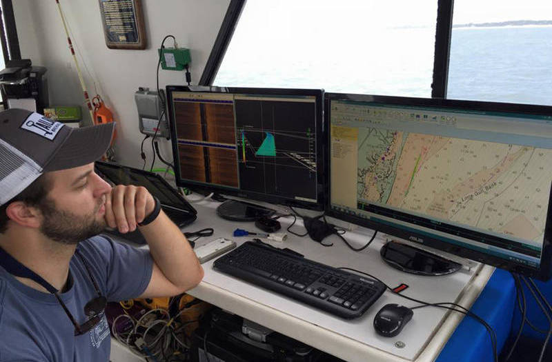

A survey technician observes the acoustic survey data and navigation information in real time as a marine survey progresses. Image courtesy of the University of Delaware. Download larger version (jpg, 127 KB).

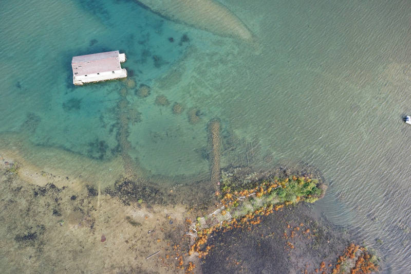
Unmanned Aircraft Systems (UAS)-captured image of historic materials on the bottom of Lake Huron adjacent to Thunder Bay Island. This example demonstrates the resolution and image quality possible due to the lake’s water clarity. Image courtesy of Thunder Bay National Marine Sanctuary, NOAA. Download larger version (jpg, 5.9 MB).
Below are resources designed to engage broad audiences and help explorers of all ages to investigate and better understand the tools, techniques, and importance of marine archaeology.
Each of these expeditions covers topics similar to those of this expedition. Each expedition web page has an education component with associated lesson plans on topics including shipwrecks, corals, cold seeps, and the technologies used to explore these areas.
These Education Theme Pages are designed to provide the best of what the Ocean Explorer website has to offer to support your classroom during this expedition. Each Theme page provides links to content essays, lessons, multimedia interactive activities, career information, and associated past expeditions.