Seascape Alaska 4: Gulf of Alaska Deepwater Mapping
(EX2305)
August 1 - 17, 2023
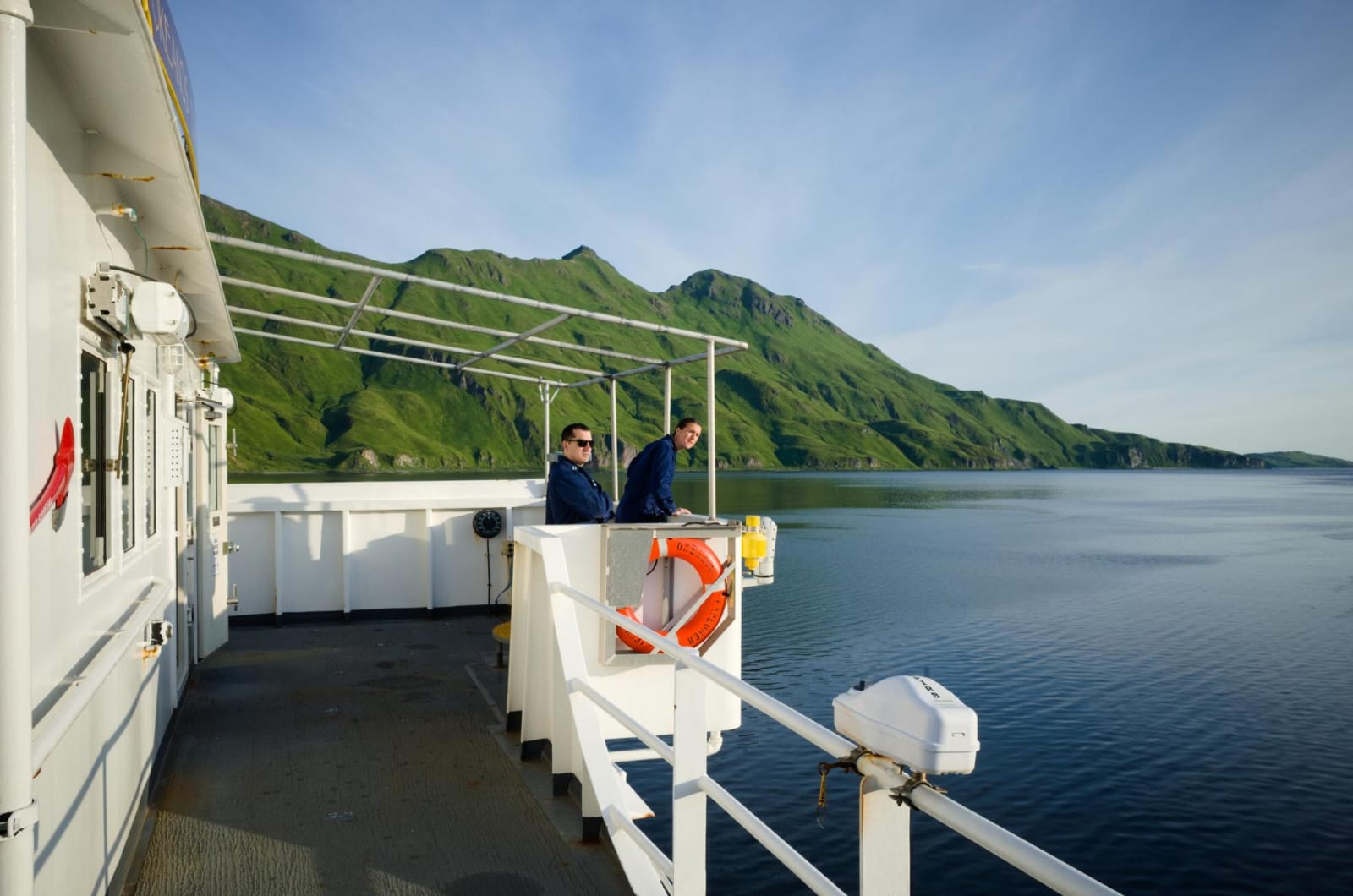
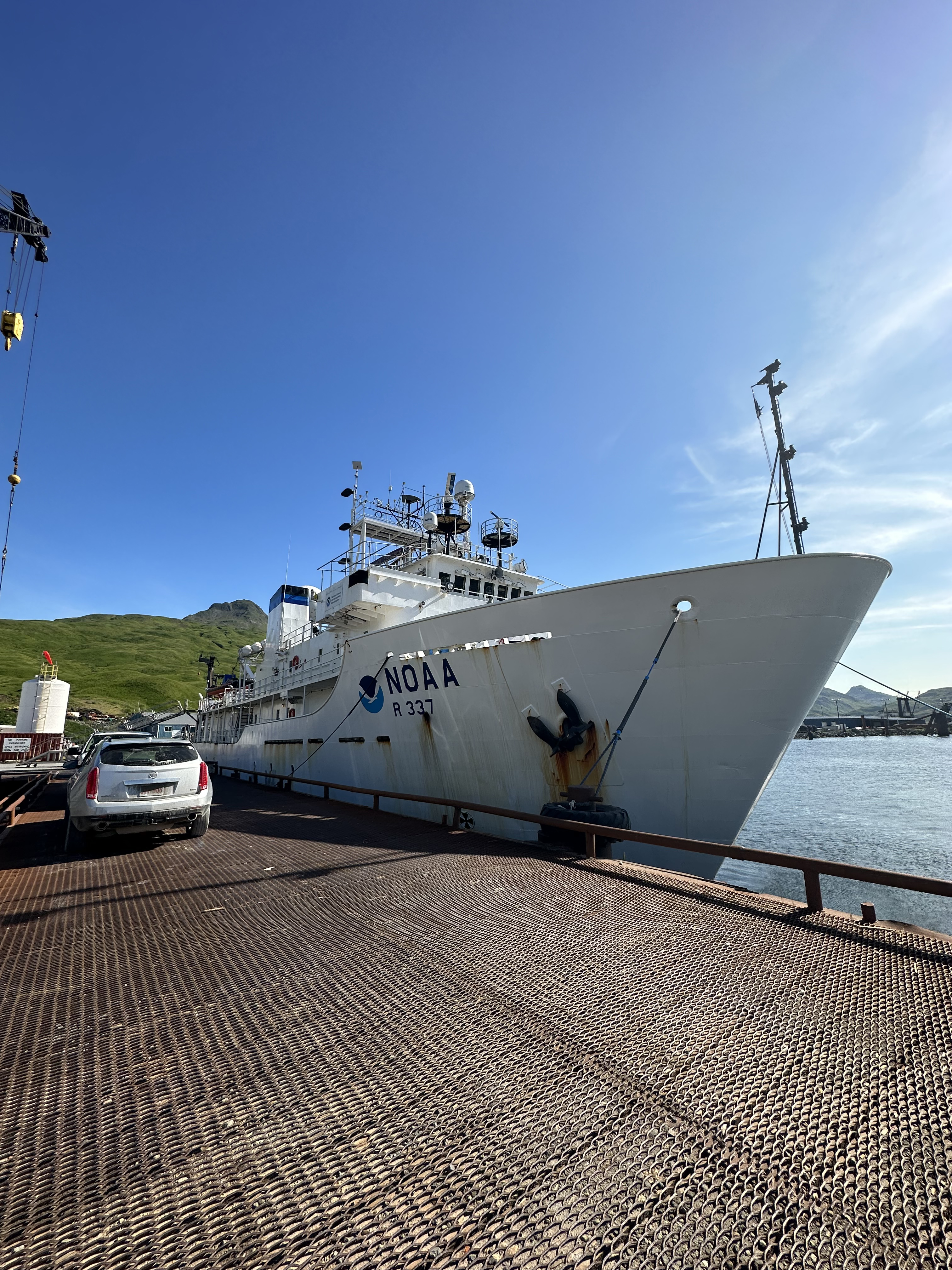
NOAA Ship Okeanos Explorer
Gulf of Alaska and Aleutian Islands
Increase mapping coverage in unexplored regions off Alaska, with a focus on waters deeper than 200 meters (656 feet)
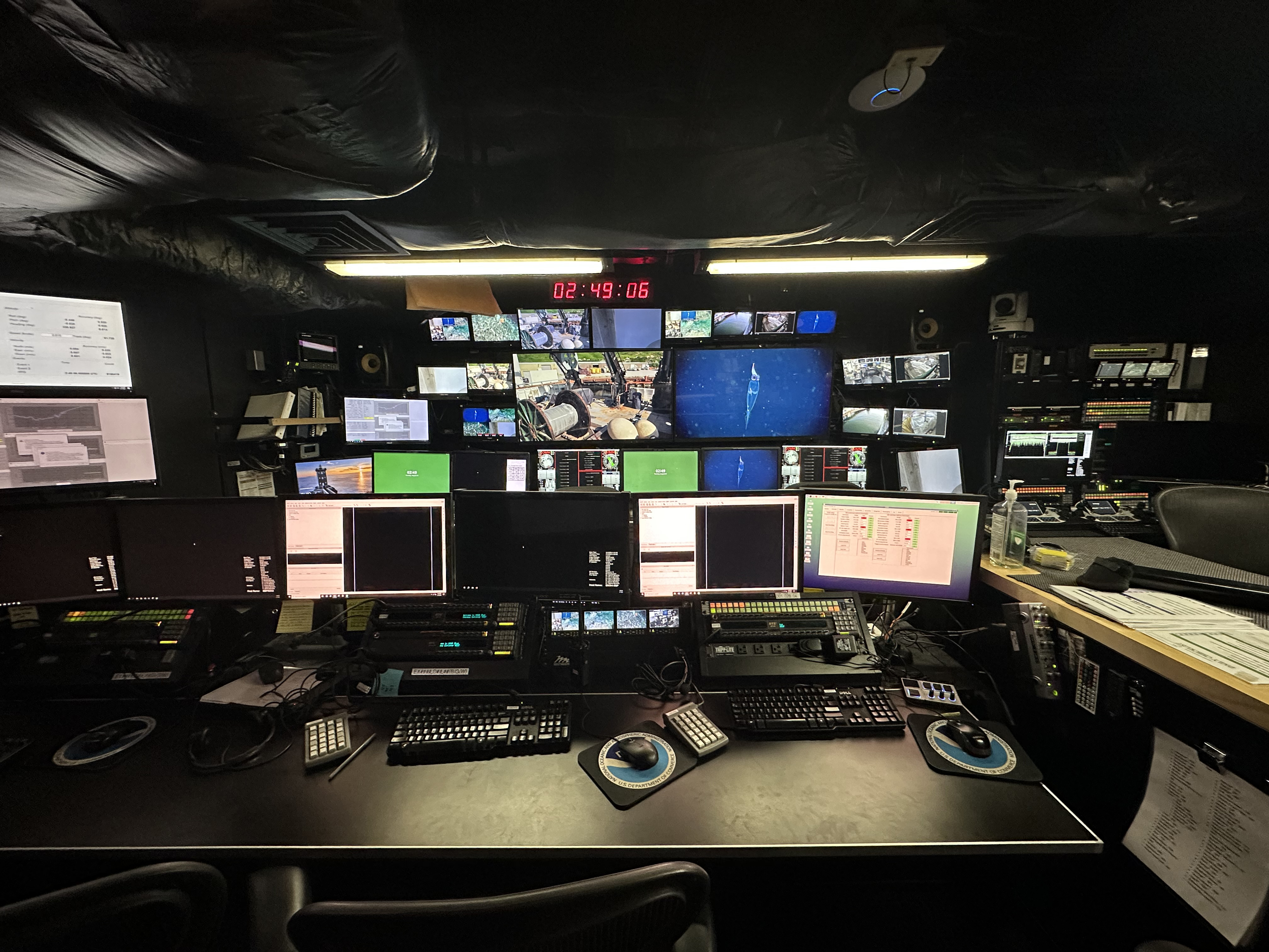
Multibeam sonar
Expedition Summary
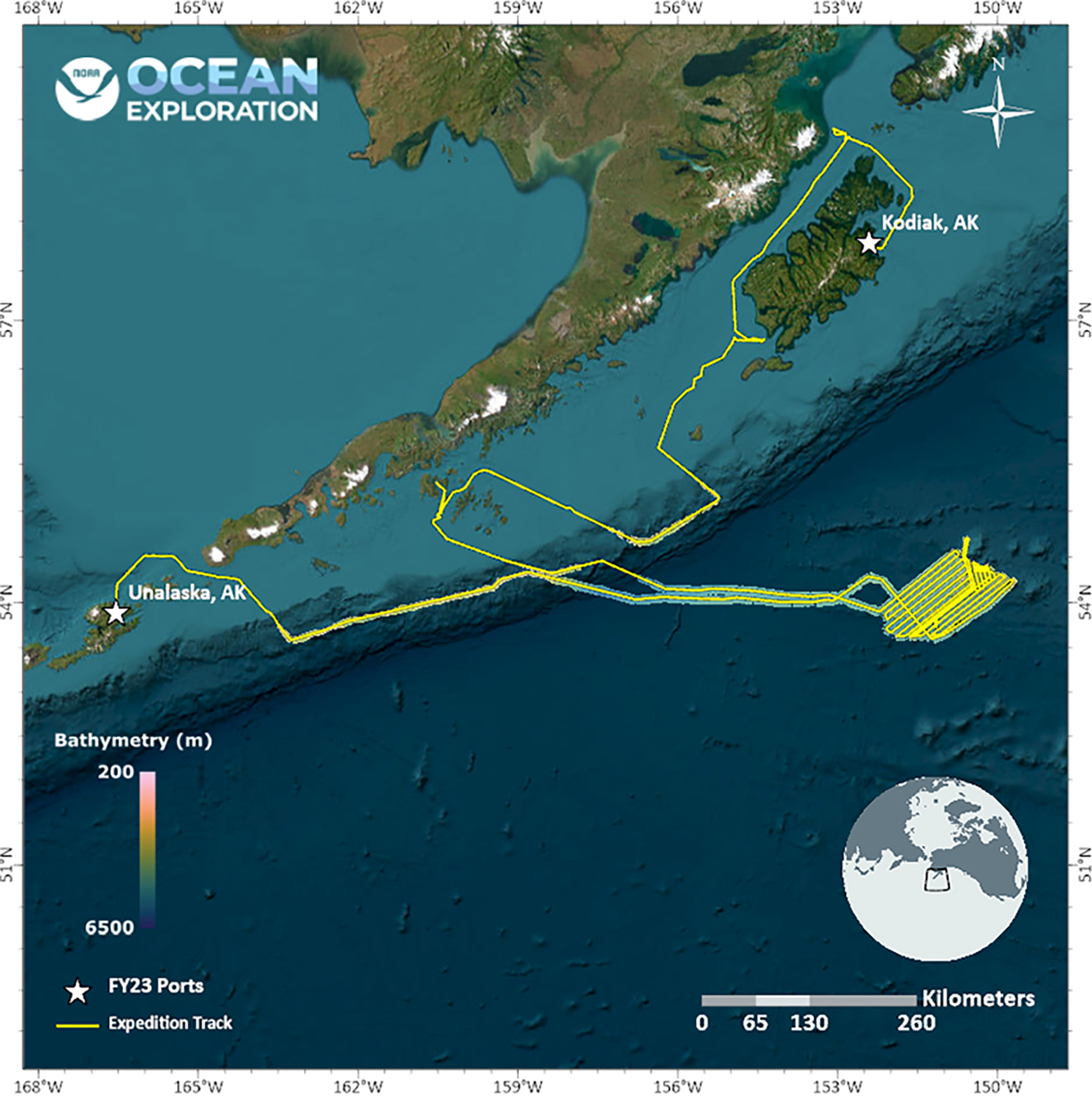
While conducting the 17-day Seascape Alaska 4: Gulf of Alaska Deepwater Mapping expedition on NOAA Ship Okeanos Explorer, NOAA Ocean Exploration and partners mapped more than 24,000 square kilometers (9,265 square miles) of seafloor in the Gulf of Alaska, increasing mapping coverage in a largely unexplored region of our nation's Exclusive Economic Zone.
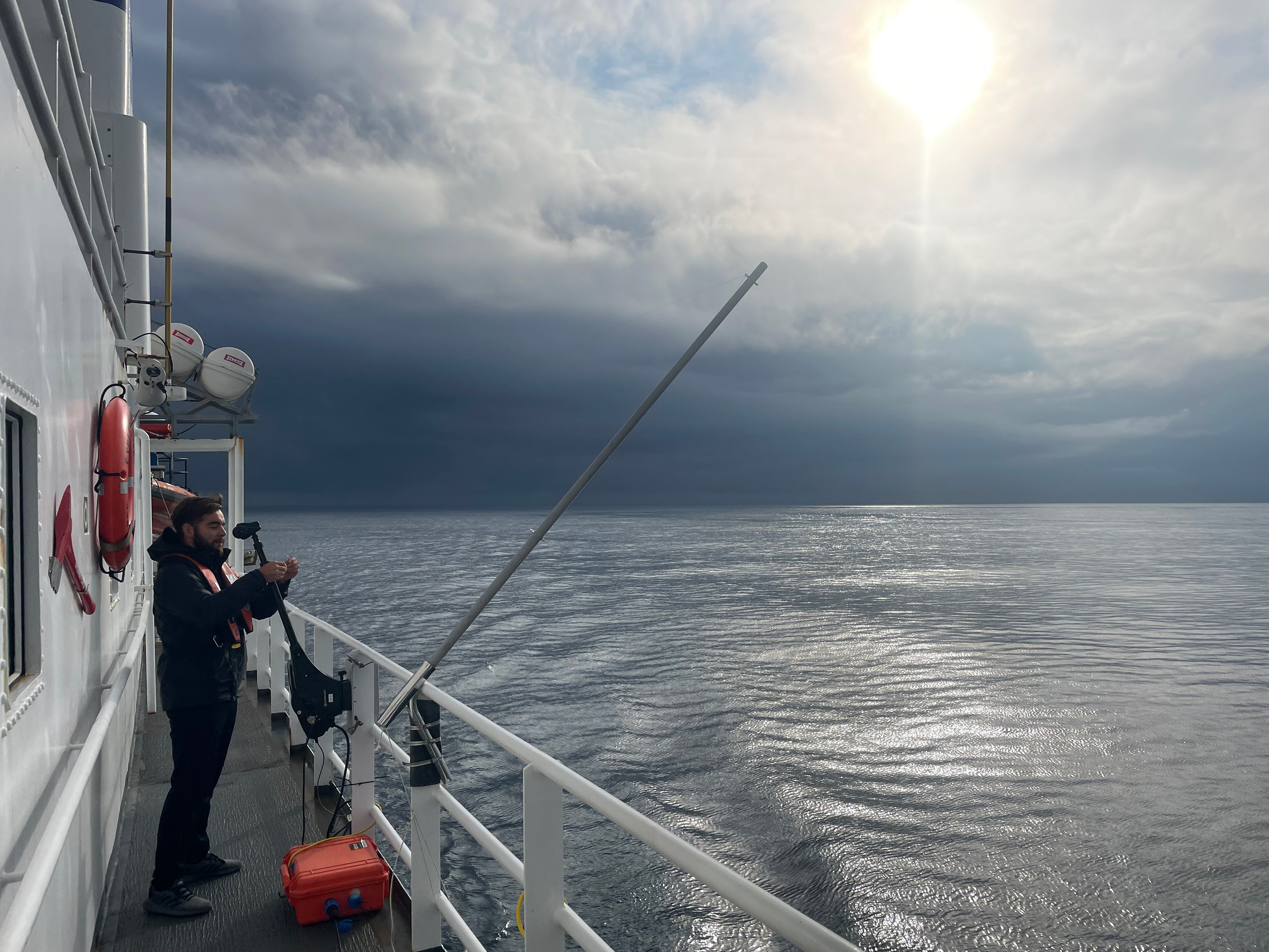
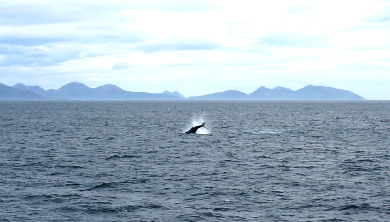
During mapping operations, NOAA Ocean Exploration collected multibeam sonar bathymetry data, made observations of biological material in the water column using the ship's split-beam fisheries sonar, and made observations of sub-seafloor geological structure and sediment using a sub-bottom profiler. A focused survey targeted a region between Hecht Seamount and the Patton Seamount Chain in the Gulf of Alaska. The expedition team also completed a calibration of the ship's split-beam transducers. The exploratory mapping operations conducted during this expedition will provide initial characterization of the region, as well as data to support further exploration and priority NOAA science and management needs.
As part of NOAA Ocean Exploration's commitment to cultivating the next generation of ocean explorers and engaging the public in exploration activities, while the ship was in port in Kodiak, the expedition team provided tours of the vessel for three student participants in Camp Qungaayux and hosted three explorers-in-training while underway.
Images
Expedition Features
Exploration Team
Naming every participant in a telepresence-enabled expedition is next to impossible, as scientists from around the world have provided input into the expedition plan. However, we've assembled information about the members of the team who are sailing on the ship and participating in the expedition from sea - meet the team!


Education Content
Education theme pages provide the best of what the NOAA Ocean Exploration website has to offer to support educators in the classroom during this expedition. Each theme page includes expedition features, lessons, multimedia, career information, and associated past expeditions.


Related Links
Expeditions
- Seascape Alaska
- NOAA Ship Okeanos Explorer: 2023 Expeditions Overview
- Introducing Seascape Alaska
- United Nations Ocean Decade endorses Seascape Alaska
Technology
Media Contacts
Emily Crum
Communication Specialist
NOAA Ocean Exploration
ocean-explore-comms@noaa.gov
Keeley Belva
Public Affairs Officer
NOAA Office of Marine and Aviation Operations
keeley.belva@noaa.gov
For more information, visit the Media Resources page.
NOAA Ocean Exploration's 2023 Seascape Alaska expeditions will contribute to the National Strategy for Exploring, Mapping, and Characterizing the United States Exclusive Economic Zone, Seabed 2030, and multipartner Seascape Alaska campaign, which has been endorsed by the Intergovernmental Oceanographic Commission of UNESCO as part of the United Nations Decade of Ocean Science for Sustainable Development 2021-2030.
Data collected during all expeditions will be available in NOAA's public data archives within 90-120 days of its completion and will be accessible via the NOAA Ocean Exploration Data Atlas.
Published November 1, 2023